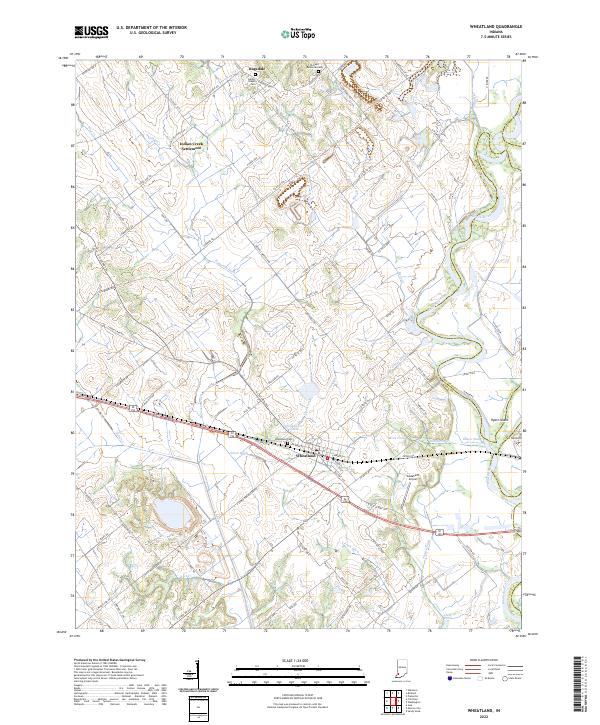
2022 Map of Wheatland
USGS Topo · Published 2022About this map
Wheatland sits at the heart of this Knox County landscape, where the flatlands are defined by an intricate network of drainage ditches and creeks. The community’s layout is closely tied to the CSX Transportation railroad line, while the nearby White River forms a serpentine boundary to the east, carving out features like Hyatt Island and Ghost Hollow. The region’s rural heritage is evident in the scattered small settlements such as Ragsdale and the Indian Creek Settlement, alongside historic burial sites like the Asbury Chapel Cem and Wheatland Cem. The terrain south of town is heavily marked by water management infrastructure, including Steen Ditch and Frick Ditch, reflecting a landscape meticulously engineered for agriculture. Notable landmarks like the Godahavit Airport and Mine Pond provide further clues to the local economy and land use during this modern era of mapping.
Find a feature on this map
118 named features on this map. Tap any name to fly to it.
Don’t see what you’re looking for? This feature index may not catch every label — zoom into the map to look around manually.
Map Details
Editions of this 2022 Wheatland Map
This is the sole edition of this map. No revisions or reprints were ever made.
Other maps of this area

1942 · Fritchton
USGS Topo · 1:24,000

1943 · Oaktown
USGS Topo · 1:24,000

1943 · Bicknell
USGS Topo · 1:24,000

1943 · Plainville
USGS Topo · 1:24,000

1944 · Fritchton
USGS Topo · 1:24,000

1944 · Washington
USGS Topo · 1:24,000

1944 · Monroe City
USGS Topo · 1:24,000

1944 · Wheatland
USGS Topo · 1:24,000

1944 · Iona
USGS Topo · 1:24,000

1945 · Sandy Hook
USGS Topo · 1:24,000