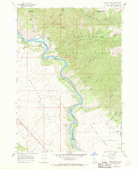
1966 Map of Wheaton Mountain
USGS Topo · Published 1969About this map
Snake River curves through a landscape of deep canyons and high plateaus in this mid-1960s survey of eastern Idaho. This region, where the borders of Madison, Bonneville, and Teton counties converge, is defined by the elevation gains of Targhee National Forest. Local landmarks like Wheaton Mtn overlook a series of fertile alluvial areas including Fisher Bottom and Lufkin Bottom.
Find a feature on this map
29 named features on this map. Tap any name to fly to it.
Don’t see what you’re looking for? This feature index may not catch every label — zoom into the map to look around manually.
Map Details
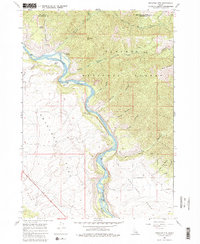
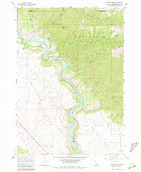
Editions of this 1966 Wheaton Mountain Map
3 editions found
Other maps of this area

1924 · Hell Creek
USGS Topo · 1:62,500

1926 · Hell Creek
USGS Topo · 1:62,500

1932 · Irwin
USGS Topo · 1:96,000

1935 · Irwin
USGS Topo · 1:125,000

1943 · Garns Mtn
USGS Topo · 1:62,500

1946 · Garns Mtn
USGS Topo · 1:62,500

1951 · Hawley Gulch
USGS Topo · 1:24,000

1951 · Heise SE
USGS Topo · 1:24,000

1955 · Driggs
USGS Topo · 1:250,000

1958 · Driggs
USGS Topo · 1:250,000