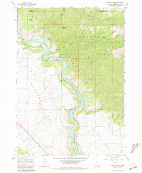
1966 Map of Wheaton Mountain
USGS Topo · Published 1981About this map
The Snake River carves a deep, sinuous path through the center of this Idaho landscape, creating distinct river-level landmarks like Fisher Bottom and Lufkin Bottom against the steep canyon walls. To the east, the Targhee National Forest encompasses heavily dissected terrain including Wheaton Mtn and Black Mountain, while the western portion of the sheet is defined by the high, level expanse of Antelope Flat. This 1966 field-checked survey highlights a backcountry infrastructure of Pack Trails and Jeep Trails that provide the only access through numerous side drainages such as Fisher Canyon, Burns Canyon, and Bear Gulch. Geologists and historians will note the concentration of water sources along the river's edge, including Warm Springs, Lufkin Spring, and Water Crest Spring, which were vital for early grazing and travel in this arid portion of Bonneville County.
Find a feature on this map
30 named features on this map. Tap any name to fly to it.
Don’t see what you’re looking for? This feature index may not catch every label — zoom into the map to look around manually.
Map Details
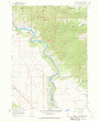
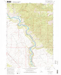
Editions of this 1966 Wheaton Mountain Map
3 editions found
Other maps of this area

1924 · Hell Creek
USGS Topo · 1:62,500

1926 · Hell Creek
USGS Topo · 1:62,500

1932 · Irwin
USGS Topo · 1:96,000

1935 · Irwin
USGS Topo · 1:125,000

1943 · Garns Mtn
USGS Topo · 1:62,500

1946 · Garns Mtn
USGS Topo · 1:62,500

1951 · Hawley Gulch
USGS Topo · 1:24,000

1951 · Heise SE
USGS Topo · 1:24,000

1955 · Driggs
USGS Topo · 1:250,000

1958 · Driggs
USGS Topo · 1:250,000