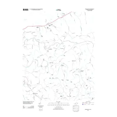
2013 Map of Wheeler
USGS Topo · Published 2013About this map
Powell River meanders through the heart of this borderland landscape, defining a series of dramatic bends and riverine features like Jack Nance Island and Massengill Bend. The topography is characterized by a dense network of hollows and ridges, which historically dictated the placement of small communities and milling operations. In the northern section, Gibson Mill and Nash Mill sit near Gibson Station, while the southern reaches are home to Bacchus and Cave Spring. The reliance on the river for transit and local connection is evident in the numerous crossing points documented, including Bussell Ford, Cosby Ford, and Yellow Shoals Ford. This 2013 survey provides a clear view of how ancestral landforms like Forge Ridge and Simmons Ridge continued to shape the road network and settlement patterns of this rural Tennessee-Virginia corridor.
Find a feature on this map
159 named features on this map. Tap any name to fly to it.
Don’t see what you’re looking for? This feature index may not catch every label — zoom into the map to look around manually.
Map Details
Editions of this 2013 Wheeler Map
This is the sole edition of this map. No revisions or reprints were ever made.
Other maps of this area

1883 · Morristown
USGS Topo · 1:125,000

1886 · Cumberland Gap
USGS Topo · 1:125,000

1887 · Jonesville
USGS Topo · 1:125,000

1888 · Cumberland Gap
USGS Topo · 1:125,000

1891 · Cumberland Gap
USGS Topo · 1:125,000

1891 · Jonesville
USGS Topo · 1:125,000

1893 · Morristown
USGS Topo · 1:125,000

1895 · Morristown
USGS Topo · 1:125,000

1897 · Maynardville
USGS Topo · 1:125,000

1900 · Maynardville
USGS Topo · 1:125,000