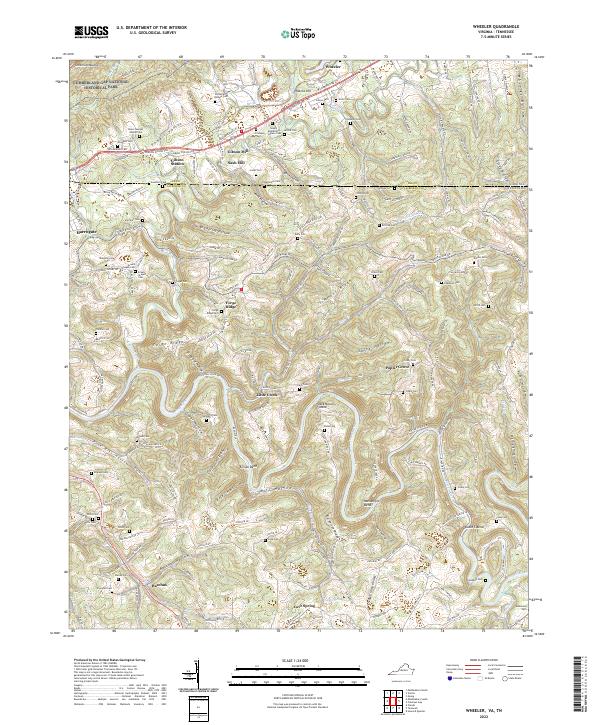
2022 Map of Wheeler
USGS Topo · Published 2022About this map
Cumberland Gap National Historical Park occupies the northwestern corner of this landscape, where Cumberland Mountain rises above the Powell Valley. The map documents a corridor deeply tied to early American migration, featuring the historic route of the Wilderness Rd and the Daniel Boone Trl as they pass through Gibson Station and Wheeler. The rugged topography is defined by the winding course of the Powell River, which creates distinctive geographical features like Massengill Bend, Double S Bend, and Ellison Bend.
Find a feature on this map
82 named features on this map. Tap any name to fly to it.
Don’t see what you’re looking for? This feature index may not catch every label — zoom into the map to look around manually.
Map Details
Editions of this 2022 Wheeler Map
This is the sole edition of this map. No revisions or reprints were ever made.
Other maps of this area

1883 · Morristown
USGS Topo · 1:125,000

1886 · Cumberland Gap
USGS Topo · 1:125,000

1887 · Jonesville
USGS Topo · 1:125,000

1888 · Cumberland Gap
USGS Topo · 1:125,000

1891 · Cumberland Gap
USGS Topo · 1:125,000

1891 · Jonesville
USGS Topo · 1:125,000

1893 · Morristown
USGS Topo · 1:125,000

1895 · Morristown
USGS Topo · 1:125,000

1897 · Maynardville
USGS Topo · 1:125,000

1900 · Maynardville
USGS Topo · 1:125,000