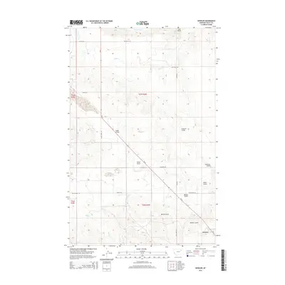
2014 Map of Wheeler
USGS Topo · Published 2014About this map
The settlement of Wheeler anchors the southeastern corner of this Valley County landscape, situated where MT-24 cuts through the high plains. The geography is defined by a dense network of coulees, including Wheeler Coulee, Borton Coulee, and the winding Galpin Coulee, which trace the drainage patterns of the Missouri River breaks. This 2014 survey reveals an agricultural and ranching environment connected by a grid of named local routes such as Willow Creek Rd and Tiger Butte Rd. To the north, the Vandalia S Canal represents significant irrigation infrastructure, while the prominent height of Tiger Butte serves as a local landmark. The map documents the persistent rural character of the region, illustrating the relationship between the rugged terrain of Fullerton Coulee and the established watercourses like Dogie Cr and Mud Cr.
Find a feature on this map
23 named features on this map. Tap any name to fly to it.
Don’t see what you’re looking for? This feature index may not catch every label — zoom into the map to look around manually.
Map Details
Editions of this 2014 Wheeler Map
This is the sole edition of this map. No revisions or reprints were ever made.
Other maps of this area

1914 · Nashua
USGS Topo · 1:62,500

1916 · Nashua
USGS Topo · 1:62,500

1943 · Glasgow
USGS Topo · 1:125,000

1954 · Jordan
USGS Topo · 1:250,000

1954 · Glasgow
USGS Topo · 1:250,000

1956 · Jordan
USGS Topo · 1:250,000

1957 · Glasgow
USGS Topo · 1:250,000

1958 · Glasgow
USGS Topo · 1:250,000

1958 · Jordan
USGS Topo · 1:250,000

1958 · Lewis Reservoir
USGS Topo · 1:24,000