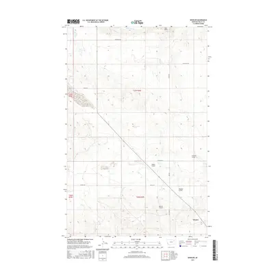
2017 Map of Wheeler
USGS Topo · Published 2017About this map
Wheeler sits at the base of a series of geographic drainages in Valley County, Montana, where the prairie begins to break into distinct coulees. The landscape is defined by its water management and natural runoff patterns, anchored by the Vandalia S Canal in the north and the prominent Tiger Butte landmark. The area is characterized by a network of rural routes such as Tiger Butte Rd and Duck Creek Rd that connect isolated ranching or agricultural sites across the township sections of t27n r40e and t26n r40e. Local topography is detailed through various drainages including Wheeler Coulee, Fullerton Coulee, and Galpin Coulee, which illustrate the complex drainage system feeding into Mud Cr and Dogle Cr.
Find a feature on this map
20 named features on this map. Tap any name to fly to it.
Don’t see what you’re looking for? This feature index may not catch every label — zoom into the map to look around manually.
Map Details
Editions of this 2017 Wheeler Map
This is the sole edition of this map. No revisions or reprints were ever made.
Other maps of this area

1914 · Nashua
USGS Topo · 1:62,500

1916 · Nashua
USGS Topo · 1:62,500

1943 · Glasgow
USGS Topo · 1:125,000

1954 · Jordan
USGS Topo · 1:250,000

1954 · Glasgow
USGS Topo · 1:250,000

1956 · Jordan
USGS Topo · 1:250,000

1957 · Glasgow
USGS Topo · 1:250,000

1958 · Glasgow
USGS Topo · 1:250,000

1958 · Jordan
USGS Topo · 1:250,000

1958 · Lewis Reservoir
USGS Topo · 1:24,000