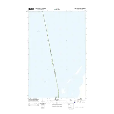
2013 Map of Wheelers Point OE N
USGS Topo · Published 2013About this map
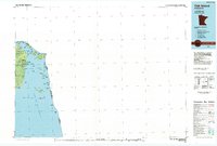
The international border between the United States and Canada bisects the northern reaches of Lake of the Woods on this 2013 survey. This aquatic landscape is defined by its position in Lake of the Woods County, Minnesota, where the water is the primary feature. The map highlights Currys Oak Island Point at the southern edge, a distinctive landform extending into the lake. This specific quadrangle offers a precise look at the jurisdictional boundary lines as they were recorded in the early 21st century, illustrating how the border cuts across open water far from major inland settlements.
Find a feature on this map
5 named features on this map. Tap any name to fly to it.
Don’t see what you’re looking for? This feature index may not catch every label — zoom into the map to look around manually.
Map Details
Editions of this 2013 Wheelers Point OE N Map
This is the sole edition of this map. No revisions or reprints were ever made.
Other maps of this area

1918 · Williams
USGS Topo · 1:62,500

1919 · Canada
USGS Topo · 1:62,500

1954 · Roseau
USGS Topo · 1:250,000

1957 · Roseau
USGS Topo · 1:250,000

1958 · Roseau
USGS Topo · 1:250,000

1963 · Kenora
USGS Topo · 1:250,000
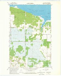
1967 · Williams SE
USGS Topo · 1:24,000
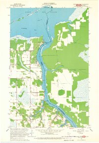
1967 · Wheelers Point
USGS Topo · 1:24,000
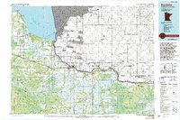
1976 · Baudette
USGS Topo · 1:100,000
1985 · Oak Island
USGS Topo · 1:100,000