
1968 Map of Wheeling
USGS Topo · Published 1984About this map
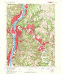
The Ohio River dominates this mid-century view, carving a path between the industrial hubs of Martins Ferry and Wheeling. The dense urban development on Wheeling Island and the central business district contrasts sharply with the narrow, steep valleys of the West Virginia panhandle. Along the eastern hills, large recreational tracts like Oglebay Park and Wheeling Park provide open space above the crowded riverfront.
Find a feature on this map
111 named features on this map. Tap any name to fly to it.
Don’t see what you’re looking for? This feature index may not catch every label — zoom into the map to look around manually.
Map Details
Editions of this 1968 Wheeling Map
4 editions found
Other maps of this area

1902 · Wheeling
USGS Topo · 1:62,500

1904 · Cameron
USGS Topo · 1:62,500

1905 · Clarington
USGS Topo · 1:62,500

1905 · St. Clairsville
USGS Topo · 1:62,500

1935 · Cameron
USGS Topo · 1:62,500

1935 · Clarington
USGS Topo · 1:62,500

1935 · Wheeling
USGS Topo · 1:62,500

1940 · Clarington
USGS Topo · 1:62,500

1942 · Cameron
USGS Topo · 1:62,500

1942 · Wheeling
USGS Topo · 1:62,500