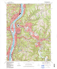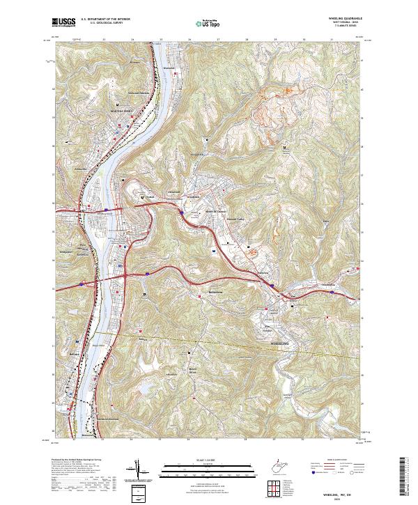
1968 Map of Wheeling
USGS Topo · Published 1971About this map
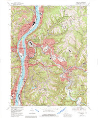
The Ohio River dominates this 1960s landscape, serving as the border between West Virginia and Ohio while fueling the industrial activity of Wheeling and Martins Ferry. Extensive rail networks including the Penn Central, Baltimore & Ohio, and Norfolk & Western trace the riverbanks and winding creek valleys, illustrating the region's historical role as a transportation hub. Beyond the dense urban cores, the terrain is deeply dissected by drainages like Wheeling Creek and Boggs Run, where residential growth pushed into neighborhoods like Woodsdale and Bethlehem. The map captures a sophisticated local infrastructure of Catholic education and memorial sites, from Mt de Chantal Academy and Wheeling College to the sprawling grounds of Greenwood Cemetery and Mt Calvary Cemetery. Evidence of the area's extraction history is visible in scattered strip mines and a mine dump near the industrial waterfront.
Find a feature on this map
109 named features on this map. Tap any name to fly to it.
Don’t see what you’re looking for? This feature index may not catch every label — zoom into the map to look around manually.
Map Details
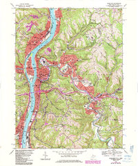
Editions of this 1968 Wheeling Map
4 editions found
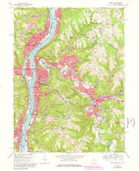
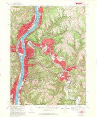
Historical Maps of Wheeling Through Time
7 maps found