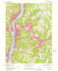
1968 Map of Wheeling
USGS Topo · Published 1978About this map
The Ohio River carves a deep valley through this industrial and residential landscape, separating Wheeling and Benwood in West Virginia from Martins Ferry and Bellaire in Ohio. The map captures a moment when the region's heavy rail infrastructure was still highly visible, with the Penn Central and Baltimore and Ohio railroads tracing the riverbanks and intersecting at Benwood Junction. On the West Virginia side, the topography rises sharply from the floodplains into high, rolling hills occupied by institutional landmarks like Wheeling College and the Mt de Chantal Academy.
Find a feature on this map
103 named features on this map. Tap any name to fly to it.
Don’t see what you’re looking for? This feature index may not catch every label — zoom into the map to look around manually.
Map Details
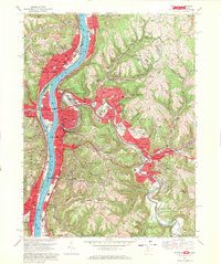
Editions of this 1968 Wheeling Map
4 editions found

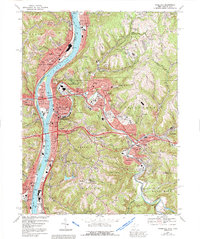
Other maps of this area

1902 · Wheeling
USGS Topo · 1:62,500

1904 · Cameron
USGS Topo · 1:62,500

1905 · Clarington
USGS Topo · 1:62,500

1905 · St. Clairsville
USGS Topo · 1:62,500

1935 · Cameron
USGS Topo · 1:62,500

1935 · Clarington
USGS Topo · 1:62,500

1935 · Wheeling
USGS Topo · 1:62,500

1940 · Clarington
USGS Topo · 1:62,500

1942 · Cameron
USGS Topo · 1:62,500

1942 · Wheeling
USGS Topo · 1:62,500