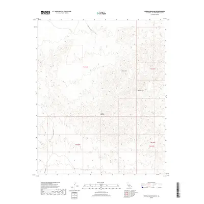
2018 Map of Whipple Mountains SW
USGS Topo · Published 2018About this map
The Whipple Mountains dominate this section of the Mojave Desert, where steep topographic relief and narrow drainage corridors define the landscape. This 2018 survey reveals a terrain largely shaped by its geology and industrial utility, rather than permanent settlement. Access into the interior is limited to rugged tracks like War Eagle No 1 Mine Rd and Chambers Well Rd, which hint at the region's mining history and the essential search for water in an arid environment. The most prominent natural drainage, Whipple Wash, cuts through the eastern portion of the quadrangle, serving as a primary conduit for seasonal runoff. This map is a clear record of the intersection between human exploration and the unforgiving desert environment of southeastern California.
Find a feature on this map
9 named features on this map. Tap any name to fly to it.
Don’t see what you’re looking for? This feature index may not catch every label — zoom into the map to look around manually.
Map Details
Editions of this 2018 Whipple Mountains SW Map
This is the sole edition of this map. No revisions or reprints were ever made.
Other maps of this area

1911 · Parker
USGS Topo · 1:125,000

1943 · Whipple Mts.
USGS Topo · 1:62,500

1943 · Parker
USGS Topo · 1:62,500

1943 · Vidal
USGS Topo · 1:62,500

1949 · Parker
USGS Topo · 1:62,500

1949 · Vidal
USGS Topo · 1:62,500

1950 · Parker
USGS Topo · 1:62,500

1950 · Vidal
USGS Topo · 1:62,500

1950 · Whipple Mts
USGS Topo · 1:62,500

1950 · Savahia Peak
USGS Topo · 1:62,500