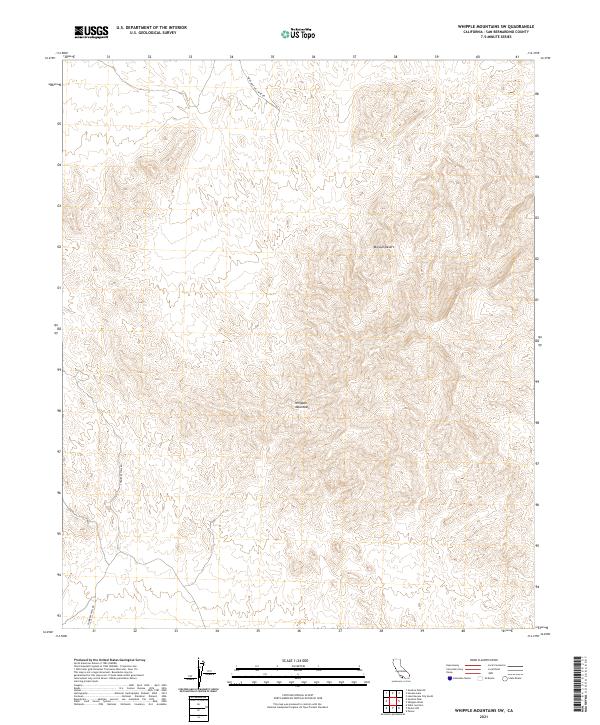
2021 Map of Whipple Mountains SW
USGS Topo · Published 2021About this map
Mojave Desert terrain dominates this quadrangle, where the sharp elevations of the Whipple Mountains rise from the desert floor. The landscape is marked by the complex Township and Range lines of the Public Land Survey System, including t3n r24e and t2n r25e. This modern record of the southeastern California wilderness illustrates a region defined by isolation and specialized access. Sparse infrastructure is limited to rugged tracks such as War Eagle No 1 Mine Rd and Chambers Well Rd, which suggest a history of prospecting and desert transit. The lack of permanent water sources or settlements highlights the arid character of the San Bernardino County interior, where topography alone dictates the movement of people and vehicles through the mountain passes.
Find a feature on this map
8 named features on this map. Tap any name to fly to it.
Don’t see what you’re looking for? This feature index may not catch every label — zoom into the map to look around manually.
Map Details
Editions of this 2021 Whipple Mountains SW Map
This is the sole edition of this map. No revisions or reprints were ever made.
Other maps of this area

1911 · Parker
USGS Topo · 1:125,000

1943 · Whipple Mts.
USGS Topo · 1:62,500

1943 · Parker
USGS Topo · 1:62,500

1943 · Vidal
USGS Topo · 1:62,500

1949 · Parker
USGS Topo · 1:62,500

1949 · Vidal
USGS Topo · 1:62,500

1950 · Parker
USGS Topo · 1:62,500

1950 · Vidal
USGS Topo · 1:62,500

1950 · Whipple Mts
USGS Topo · 1:62,500

1950 · Savahia Peak
USGS Topo · 1:62,500