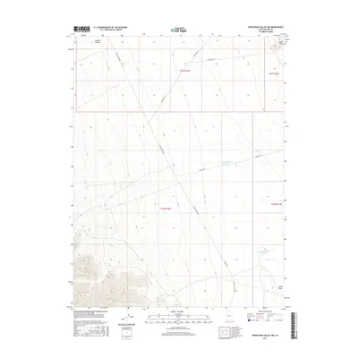
2017 Map of Whirlwind Valley NW
USGS Topo · Published 2017About this map
Swasey Bottom and the expansive lowlands of Whirlwind Valley define this high-desert landscape in Millard County. Water management is central to the area's geography, evidenced by features such as Swasey Reservoir Number 2 and Swasey Reservoir Number 3. The terrain rises from the valley floor toward Black Point in the northeast, while the southern reaches are marked by the drainage of Swasey Wash. A network of unpaved tracks, including Swazey Spring Rd and Laird Peak Rd, suggests a landscape used primarily for ranching or resource access. This 2017 survey reflects the enduring character of Utah's West Desert, where naming conventions often vary slightly, as seen in the different spellings of Swaze Springs Rd and Swazey throughout the quadrangle.
Find a feature on this map
16 named features on this map. Tap any name to fly to it.
Don’t see what you’re looking for? This feature index may not catch every label — zoom into the map to look around manually.
Map Details
Editions of this 2017 Whirlwind Valley NW Map
This is the sole edition of this map. No revisions or reprints were ever made.
Other maps of this area

1908 · Fish Springs
USGS Topo · 1:250,000

1910 · Fish Springs
USGS Topo · 1:250,000

1953 · Topaz Mtn
USGS Topo · 1:62,500

1953 · Delta
USGS Topo · 1:250,000

1958 · Delta
USGS Topo · 1:250,000

1962 · Delta
USGS Topo · 1:250,000

1967 · Sand Pass SE
USGS Topo · 1:24,000

1972 · Whirlwind Valley SW
USGS Topo · 1:24,000
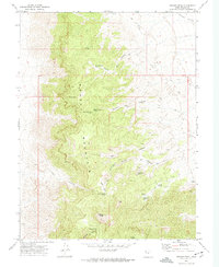
1972 · Swasey Peak
USGS Topo · 1:24,000
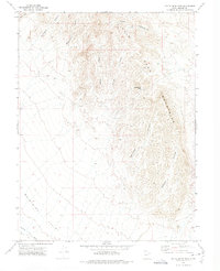
1972 · Little Drum Pass
USGS Topo · 1:24,000