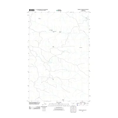
2011 Map of Whiskey Coulee
USGS Topo · Published 2011About this map
Whiskey Coulee and its neighboring drainages define this portion of Valley County, where the landscape is marked by unique geologic formations and scattered pastoral outposts. In the northern reaches, The Chimneys and Castle Rocks rise above the surrounding terrain, while Castle Butte stands as a prominent landmark to the east. These features, along with the numerous springs such as School Section Spring, Franks Spring, and Chandler Spring, suggest a reliance on these critical water sources in an otherwise arid environment. The road network is sparse, with Etchart Hay Rd providing a primary route through the area. Human presence is anchored at the Anderson Ranch in the northeast and the Smith Ranch further south, illustrating the enduring cattle-ranching culture of the region during this 2011 survey. This map captures the intersection of natural topography, including North Shotgun Coulee and South Shotgun Coulee, and the localized road systems that serve these remote ranching operations.
Find a feature on this map
16 named features on this map. Tap any name to fly to it.
Don’t see what you’re looking for? This feature index may not catch every label — zoom into the map to look around manually.
Map Details
Editions of this 2011 Whiskey Coulee Map
This is the sole edition of this map. No revisions or reprints were ever made.
Other maps of this area

1954 · Jordan
USGS Topo · 1:250,000

1956 · Jordan
USGS Topo · 1:250,000

1958 · Jordan
USGS Topo · 1:250,000

1964 · Jordan
USGS Topo · 1:250,000

1965 · Coal Mine Hill
USGS Topo · 1:24,000

1965 · Schuyler Butte
USGS Topo · 1:24,000

1965 · Buckley Lake
USGS Topo · 1:24,000

1971 · Wolfe Coulee
USGS Topo · 1:24,000
1971 · Swede Ridge
USGS Topo · 1:24,000

1973 · Niles Coulee
USGS Topo · 1:24,000