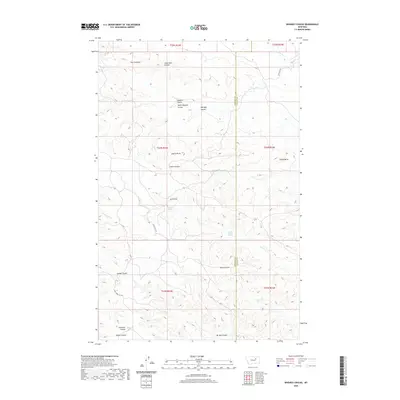
2020 Map of Whiskey Coulee
USGS Topo · Published 2020About this map
The Larb Hills dominate this high-plains landscape along the border of Phillips and Valley counties. The terrain is defined by a dense network of erosional drainages, most notably Whiskey Coulee and its neighboring Shotgun Coulee and South Shotgun Coulee. These features represent a complex system of dry washes that feed into larger watercourses like Telegraph Cr and Timber Cr.
Find a feature on this map
30 named features on this map. Tap any name to fly to it.
Don’t see what you’re looking for? This feature index may not catch every label — zoom into the map to look around manually.
Map Details
Editions of this 2020 Whiskey Coulee Map
This is the sole edition of this map. No revisions or reprints were ever made.
Other maps of this area

1954 · Jordan
USGS Topo · 1:250,000

1956 · Jordan
USGS Topo · 1:250,000

1958 · Jordan
USGS Topo · 1:250,000

1964 · Jordan
USGS Topo · 1:250,000

1965 · Coal Mine Hill
USGS Topo · 1:24,000

1965 · Schuyler Butte
USGS Topo · 1:24,000

1965 · Buckley Lake
USGS Topo · 1:24,000

1971 · Wolfe Coulee
USGS Topo · 1:24,000
1971 · Swede Ridge
USGS Topo · 1:24,000

1973 · Niles Coulee
USGS Topo · 1:24,000