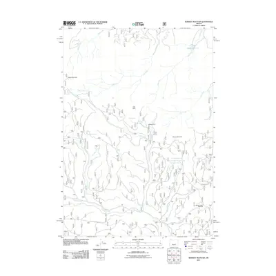
2011 Map of Whiskey Mountain
USGS Topo · Published 2011About this map
Whiskey Mountain and the high plateaus of Harney County dominate this terrain, where water sources defined life and movement in the high desert. This 2011 survey documents a landscape heavily marked by its hydrology, featuring a dense network of springs and seasonal drainages. Notable names like Schoolmam Spring, Bear Wallow Spring, and Lethas Spring suggest a long history of cattle ranching and early habitation. The presence of Whiskey Flat and Spring Valley Meadow provides insight into the few level areas suitable for camps or homesteads amidst the volcanic topography.
Find a feature on this map
37 named features on this map. Tap any name to fly to it.
Don’t see what you’re looking for? This feature index may not catch every label — zoom into the map to look around manually.
Map Details
Editions of this 2011 Whiskey Mountain Map
This is the sole edition of this map. No revisions or reprints were ever made.
Other maps of this area

1932 · Dayville
USGS Topo · 1:125,000

1936 · Dayville
USGS Topo · 1:125,000

1955 · Burns
USGS Topo · 1:250,000

1955 · Canyon City
USGS Topo · 1:250,000

1958 · Burns
USGS Topo · 1:250,000

1959 · Burns
USGS Topo · 1:250,000

1959 · Canyon City
USGS Topo · 1:250,000

1959 · Sawtooth Creek
USGS Topo · 1:62,500

1961 · Delintment Lake
USGS Topo · 1:62,500

1961 · Izee
USGS Topo · 1:62,500