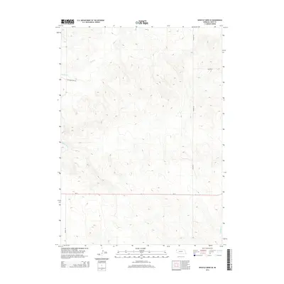
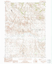
2014 Map of Whistle Creek SE
USGS Topo · Published 2014About this map
The High Plains of northwestern Nebraska are defined here by a network of drainage channels and section-line roads, notably Whistle Cr and its tributaries in the north. The landscape shows a clear transition from the drainage basins of the upper northwest to the southern reaches where N Br Snake Cr begins its course. This 2014 survey captures the rural infrastructure of Sioux County, where long-established family names and local history are etched into the transport network.
Find a feature on this map
8 named features on this map. Tap any name to fly to it.
Don’t see what you’re looking for? This feature index may not catch every label — zoom into the map to look around manually.
Map Details
Editions of this 2014 Whistle Creek SE Map
This is the sole edition of this map. No revisions or reprints were ever made.
Other maps of this area

1899 · Whistle Creek
USGS Topo · 1:125,000

1951 · Marsland
USGS Topo · 1:62,500

1951 · Kilpatrick Lake
USGS Topo · 1:62,500

1955 · Alliance
USGS Topo · 1:250,000

1957 · Alliance
USGS Topo · 1:250,000

1958 · Alliance
USGS Topo · 1:250,000
1983 · Kilpatrick Lake NW
USGS Topo · 1:24,000
1983 · Marsland SW
USGS Topo · 1:24,000
1983 · University Lake NW
USGS Topo · 1:24,000
1983 · Marsland NW
USGS Topo · 1:24,000