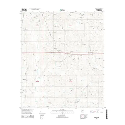
2015 Map of Whistler
USGS Topo · Published 2015About this map
Whistler stands as a focal point in this 2015 survey of Wayne County, Mississippi, where a network of family-named roads and rural cemeteries defines the community structure. The landscape is deeply carved by drainage systems like Little Thompson Cr and Yellow Cr, which feed into larger water bodies like the Big Cr and Allen Prong. For the genealogist or local researcher, the map preserves the exact locations of several historic burial grounds, including Boyles Chapel Cem and Arrington Cem, alongside church-centered infrastructure like W Shady Grove Church Rd. The transition between the T9N and T8N townships is marked by diverse terrain features such as the Paster Reed Brake and Salt Log Br, reflecting the traditional rural Mississippi landscape before more recent commercial developments altered local property lines.
Find a feature on this map
92 named features on this map. Tap any name to fly to it.
Don’t see what you’re looking for? This feature index may not catch every label — zoom into the map to look around manually.
Map Details
Editions of this 2015 Whistler Map
This is the sole edition of this map. No revisions or reprints were ever made.
Other maps of this area

1953 · Hattiesburg
USGS Topo · 1:250,000

1958 · Hattiesburg
USGS Topo · 1:250,000

1964 · Heidelberg SW
USGS Topo · 1:24,000

1964 · Eucutta
USGS Topo · 1:24,000

1964 · Myrick
USGS Topo · 1:24,000

1964 · Clara
USGS Topo · 1:24,000

1964 · Strengthford
USGS Topo · 1:24,000

1964 · Waynesboro
USGS Topo · 1:24,000

1964 · Whistler
USGS Topo · 1:24,000

1964 · Shubuta
USGS Topo · 1:24,000