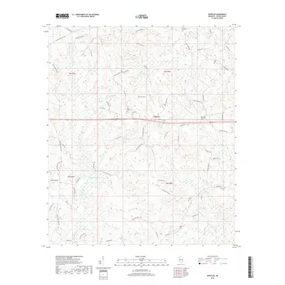
2018 Map of Whistler
USGS Topo · Published 2018About this map
Whistler stands as a focal point in this portion of Wayne County, where a network of family-named roads and rural burial grounds defines the local geography. The landscape is deeply etched by a dense drainage system including Yellow Creek and Maynor Creek, alongside distinctive wetland features like the Paster Reed Brake. Genealogists will find significant value in the distribution of several community cemeteries such as Boyles Chapel Cemetery, Arrington Cemetery, and West Shady Grove Cemetery. The road network, often bearing the names of local residents like Jack Fleming Road and Earl Pitts Road, suggests a long-standing pattern of family landholdings and rural development. The presence of numerous small tributaries, such as Martha Holland Branch and Burro Spring Branch, illustrates the intricate water table that has shaped the agricultural and residential layout of this Mississippi terrain.
Find a feature on this map
86 named features on this map. Tap any name to fly to it.
Don’t see what you’re looking for? This feature index may not catch every label — zoom into the map to look around manually.
Map Details
Editions of this 2018 Whistler Map
This is the sole edition of this map. No revisions or reprints were ever made.
Other maps of this area

1953 · Hattiesburg
USGS Topo · 1:250,000

1958 · Hattiesburg
USGS Topo · 1:250,000

1964 · Heidelberg SW
USGS Topo · 1:24,000

1964 · Eucutta
USGS Topo · 1:24,000

1964 · Myrick
USGS Topo · 1:24,000

1964 · Clara
USGS Topo · 1:24,000

1964 · Strengthford
USGS Topo · 1:24,000

1964 · Waynesboro
USGS Topo · 1:24,000

1964 · Whistler
USGS Topo · 1:24,000

1964 · Shubuta
USGS Topo · 1:24,000