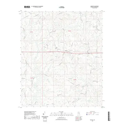
2020 Map of Whistler
USGS Topo · Published 2020About this map
Whistler sits near the center of this rural Wayne County landscape, situated at a crossroad where several family-named routes converge. The area is defined by a dense network of watercourses, including Yellow Creek and Little Thompson Cr, which carve through the terrain and drain into low-lying features like the Paster Reed Brake. Genealogists and local historians will find numerous burial grounds scattered across the townships, such as Boyles Chapel Cem near Boyles Chapel and the West Shady Grove Cem to the east. The map records a complex system of local roads named for established families, such as Curtis Williams Rd, Mozingo Richey Rd, and Boyles Rd, suggesting a landscape of long-standing family landholdings and rural homesteads that have persisted into the 21st century.
Find a feature on this map
87 named features on this map. Tap any name to fly to it.
Don’t see what you’re looking for? This feature index may not catch every label — zoom into the map to look around manually.
Map Details
Editions of this 2020 Whistler Map
This is the sole edition of this map. No revisions or reprints were ever made.
Other maps of this area

1953 · Hattiesburg
USGS Topo · 1:250,000

1958 · Hattiesburg
USGS Topo · 1:250,000

1964 · Heidelberg SW
USGS Topo · 1:24,000

1964 · Eucutta
USGS Topo · 1:24,000

1964 · Myrick
USGS Topo · 1:24,000

1964 · Clara
USGS Topo · 1:24,000

1964 · Strengthford
USGS Topo · 1:24,000

1964 · Waynesboro
USGS Topo · 1:24,000

1964 · Whistler
USGS Topo · 1:24,000

1964 · Shubuta
USGS Topo · 1:24,000