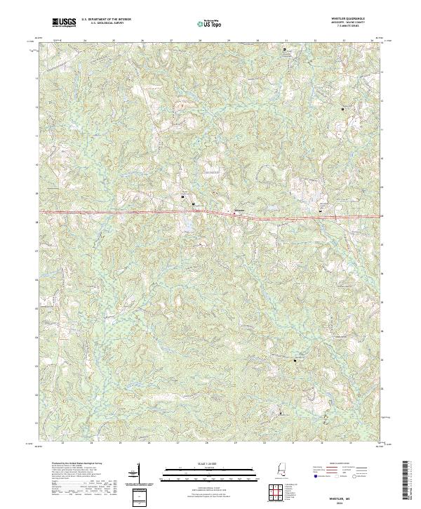
2024 Map of Whistler
USGS Topo · Published 2024About this map
Whistler sits at the heart of this Wayne County landscape, situated along the corridor of Highway 84. The surrounding area is defined by a dense network of small streams and family-named landmarks that speak to the long-standing settlement patterns of eastern Mississippi. Waterways like Yellow Creek, Myrick Creek, and the Allen Prong of Big Creek wind through the terrain, historically shaping the placement of homesteads and local roads.
Find a feature on this map
87 named features on this map. Tap any name to fly to it.
Don’t see what you’re looking for? This feature index may not catch every label — zoom into the map to look around manually.
Map Details
Editions of this 2024 Whistler Map
This is the sole edition of this map. No revisions or reprints were ever made.
Other maps of this area

1953 · Hattiesburg
USGS Topo · 1:250,000

1958 · Hattiesburg
USGS Topo · 1:250,000

1964 · Heidelberg SW
USGS Topo · 1:24,000

1964 · Eucutta
USGS Topo · 1:24,000

1964 · Myrick
USGS Topo · 1:24,000

1964 · Clara
USGS Topo · 1:24,000

1964 · Strengthford
USGS Topo · 1:24,000

1964 · Waynesboro
USGS Topo · 1:24,000

1964 · Whistler
USGS Topo · 1:24,000

1964 · Shubuta
USGS Topo · 1:24,000