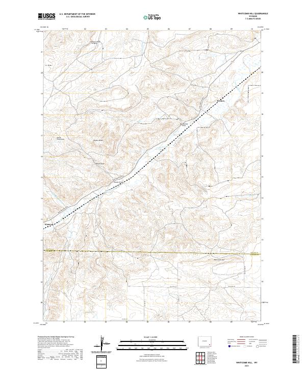
2021 Map of Whitcomb Hill
USGS Topo · Published 2021About this map
Chugwater Cr winds through this high-plains landscape, cutting a path through the distinctive topography of the Platte Co Laramie Co line. The terrain is defined by a series of named drainages and draws, such as Stewart Draw, Mendenhal Draw, and Duval Draw, which feed into the larger creek systems. Isolated settlements like Diamond and Brinton anchor the map, connected by a network of rural routes including Iron Mountain Rd and Gillaspie Rd.
Find a feature on this map
30 named features on this map. Tap any name to fly to it.
Don’t see what you’re looking for? This feature index may not catch every label — zoom into the map to look around manually.
Map Details
Editions of this 2021 Whitcomb Hill Map
This is the sole edition of this map. No revisions or reprints were ever made.
Other maps of this area

1953 · Double L Ranch
USGS Topo · 1:24,000

1953 · Chugwater
USGS Topo · 1:24,000

1953 · Richeau Hills
USGS Topo · 1:24,000

1954 · Cheyenne
USGS Topo · 1:250,000

1958 · Cheyenne
USGS Topo · 1:250,000

1962 · Moffett Ranch
USGS Topo · 1:24,000

1962 · Bristol Ridge
USGS Topo · 1:24,000

1962 · Hirsig Ranch
USGS Topo · 1:24,000

1962 · Mc Donald Ranch
USGS Topo · 1:24,000

1962 · Bristol Ridge NE
USGS Topo · 1:24,000