
1902 Map of White Bear
USGS Topo · Published 1902About this map
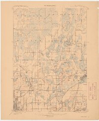
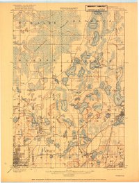
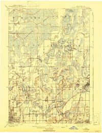
The Wire Grass Marsh and an intricate network of glacial lakes dominate this turn-of-the-century landscape northeast of Minneapolis. At this time, the area is a transition between the developing urban edge and a water-bound rural interior. Significant infrastructure supporting the growing Twin Cities is already in place, including the Minneapolis Reservoir and the Minneapolis Stock Yards near New Brighton.
Find a feature on this map
92 named features on this map. Tap any name to fly to it.
Don’t see what you’re looking for? This feature index may not catch every label — zoom into the map to look around manually.
Map Details
Editions of this 1902 White Bear Map
4 editions found
Other maps of this area

1896 · Minneapolis
USGS Topo · 1:62,500

1896 · St. Paul
USGS Topo · 1:62,500

1901 · Minneapolis
USGS Topo · 1:62,500

1902 · Anoka
USGS Topo · 1:62,500

1916 · St. Francis
USGS Topo · 1:62,500

1919 · St. Francis
USGS Topo · 1:62,500

1946 · Hudson
USGS Topo · 1:62,500

1948 · Stillwater
USGS Topo · 1:62,500

1949 · Hudson
USGS Topo · 1:62,500

1949 · Stillwater
USGS Topo · 1:62,500