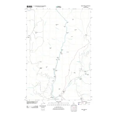
2010 Map of White Bird
USGS Topo · Published 2010About this map
The Salmon River carves a deep path through Idaho's high country, defining the landscape around White Bird. This 2010 survey shows the town near the mouth of White Bird Creek and at the foot of the White Bird Canyon walls. Evidence of the region’s resource-heavy history remains via the Diamond Drill Mine and Lyons Mining Camp, while the Battle Ground east of the river marks a site of significant conflict. To the west, the Doumecq Plains provide a high plateau above the drainage of Hammer Creek. Small, isolated settlements such as Canfield and Copperville suggest the dispersed nature of habitation in these remote drainages. Genealogical interest is anchored at the Canfield Cemetery, while family-named landmarks like Bentz Brothers and Jimmie Thompson Draw provide clues to 20th-century land use and ranching history throughout the quadrangle.
Find a feature on this map
67 named features on this map. Tap any name to fly to it.
Don’t see what you’re looking for? This feature index may not catch every label — zoom into the map to look around manually.
Map Details
Editions of this 2010 White Bird Map
This is the sole edition of this map. No revisions or reprints were ever made.
Other maps of this area

1955 · Grangeville
USGS Topo · 1:250,000

1959 · Grangeville
USGS Topo · 1:250,000

1963 · McKinzie Creek
USGS Topo · 1:24,000

1963 · Grangeville West
USGS Topo · 1:24,000

1963 · White Bird Hill
USGS Topo · 1:24,000

1963 · Slate Creek
USGS Topo · 1:24,000

1963 · Moughmer Point
USGS Topo · 1:24,000

1963 · Joseph
USGS Topo · 1:24,000

1963 · Grave Point
USGS Topo · 1:24,000

1963 · White Bird
USGS Topo · 1:24,000