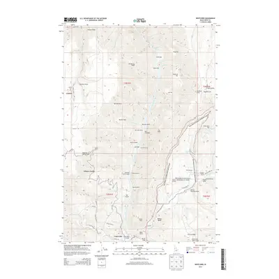
2013 Map of White Bird
USGS Topo · Published 2013About this map
The Salmon River cuts a deep path through this Idaho County landscape, revealing a history of conflict and industry. On the eastern slopes of the canyon, the Nez Perce National Historical Park encompasses the Battle Ground, marking the site of the 1877 clash that began the Nez Perce War. The terrain here is sharply defined by ridges and flats named for early settlers, such as Hogback Ridge, Woodruff Flat, and Lee Flat.
Find a feature on this map
79 named features on this map. Tap any name to fly to it.
Don’t see what you’re looking for? This feature index may not catch every label — zoom into the map to look around manually.
Map Details
Editions of this 2013 White Bird Map
This is the sole edition of this map. No revisions or reprints were ever made.
Other maps of this area

1955 · Grangeville
USGS Topo · 1:250,000

1959 · Grangeville
USGS Topo · 1:250,000

1963 · McKinzie Creek
USGS Topo · 1:24,000

1963 · Grangeville West
USGS Topo · 1:24,000

1963 · White Bird Hill
USGS Topo · 1:24,000

1963 · Slate Creek
USGS Topo · 1:24,000

1963 · Moughmer Point
USGS Topo · 1:24,000

1963 · Joseph
USGS Topo · 1:24,000

1963 · Grave Point
USGS Topo · 1:24,000

1963 · White Bird
USGS Topo · 1:24,000