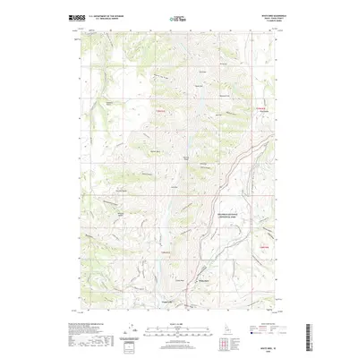
2020 Map of White Bird
USGS Topo · Published 2020About this map
The Salmon River carves a deep path through Idaho County, anchoring a landscape where the White Bird settlement sits at the base of White Bird Canyon. This area is defined by sharp elevation changes, moving from river-level features like Shorts Bar and Lyons Bar up to the high Doumecq Plains and Hogback Ridge. The inclusion of the Nez Perce National Historical Park highlights the deep cultural significance of these canyons and river crossings.
Find a feature on this map
77 named features on this map. Tap any name to fly to it.
Don’t see what you’re looking for? This feature index may not catch every label — zoom into the map to look around manually.
Map Details
Editions of this 2020 White Bird Map
This is the sole edition of this map. No revisions or reprints were ever made.
Other maps of this area

1955 · Grangeville
USGS Topo · 1:250,000

1959 · Grangeville
USGS Topo · 1:250,000

1963 · McKinzie Creek
USGS Topo · 1:24,000

1963 · Grangeville West
USGS Topo · 1:24,000

1963 · White Bird Hill
USGS Topo · 1:24,000

1963 · Slate Creek
USGS Topo · 1:24,000

1963 · Moughmer Point
USGS Topo · 1:24,000

1963 · Joseph
USGS Topo · 1:24,000

1963 · Grave Point
USGS Topo · 1:24,000

1963 · White Bird
USGS Topo · 1:24,000