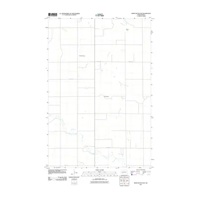
2011 Map of White Butte East
USGS Topo · Published 2011About this map
Campbell Butte and the Camel Buttes stand as prominent landmarks in this rural landscape of Hettinger County, North Dakota. The area is defined by a sparse but essential network of watercourses and gravel roads that supported the region's agricultural foundations in the early 21st century. Beaver Creek and Thirtymile Creek wind through the terrain, with the latter joined by Springs Creek in the southern portion of the quadrangle. The presence of Steiner Dam on Beaver Creek indicates managed water resources for the surrounding prairie.
Find a feature on this map
10 named features on this map. Tap any name to fly to it.
Don’t see what you’re looking for? This feature index may not catch every label — zoom into the map to look around manually.
Map Details
Editions of this 2011 White Butte East Map
This is the sole edition of this map. No revisions or reprints were ever made.
Other maps of this area

1953 · Dickinson
USGS Topo · 1:250,000

1957 · Dickinson
USGS Topo · 1:250,000

1960 · White Butte West
USGS Topo · 1:24,000

1960 · White Butte NW
USGS Topo · 1:24,000

1960 · Clark Butte NW
USGS Topo · 1:24,000

1960 · White Butte NE
USGS Topo · 1:24,000

1960 · Clark Butte SW
USGS Topo · 1:24,000

1960 · White Butte East
USGS Topo · 1:24,000

1966 · Mott NW
USGS Topo · 1:24,000

1966 · Mott North
USGS Topo · 1:24,000