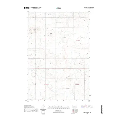
2020 Map of White Butte East
USGS Topo · Published 2020About this map
White Butte and the surrounding high plains of Hettinger County define this landscape, where the Missouri Plateau breaks into distinctive badlands formations. The terrain is marked by prominent elevations like Campbell Butte and the cluster of Camel Buttes, which serve as significant landmarks in an otherwise open, agricultural expanse. Water drainage follows a northward pattern through Beaver Cr and Thirtymile Cr, which carve shallow coulees through the townships. The rural infrastructure is established along a precise grid of section lines, with routes such as St Placidus Rd and Newburg Rd providing access to isolated farmsteads. This modern survey illustrates how the original Public Land Survey System continues to dictate the movement and settlement patterns of this prairie region, preserving the namesake features that have guided travelers through North Dakota for generations.
Find a feature on this map
22 named features on this map. Tap any name to fly to it.
Don’t see what you’re looking for? This feature index may not catch every label — zoom into the map to look around manually.
Map Details
Editions of this 2020 White Butte East Map
This is the sole edition of this map. No revisions or reprints were ever made.
Other maps of this area

1953 · Dickinson
USGS Topo · 1:250,000

1957 · Dickinson
USGS Topo · 1:250,000

1960 · White Butte West
USGS Topo · 1:24,000

1960 · White Butte NW
USGS Topo · 1:24,000

1960 · Clark Butte NW
USGS Topo · 1:24,000

1960 · White Butte NE
USGS Topo · 1:24,000

1960 · Clark Butte SW
USGS Topo · 1:24,000

1960 · White Butte East
USGS Topo · 1:24,000

1966 · Mott NW
USGS Topo · 1:24,000

1966 · Mott North
USGS Topo · 1:24,000