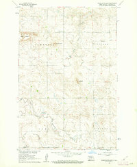
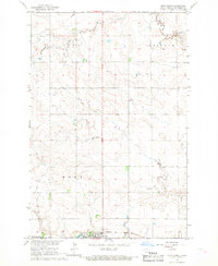
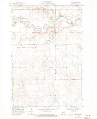
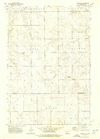
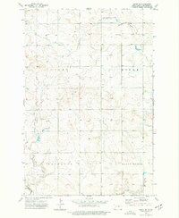
1960 Map of White Butte East
USGS Topo · Published 1962This historical map portrays the area of White Butte East in 1960, primarily covering Hettinger County. Featuring a scale of 1:24000, this map provides a highly detailed snapshot of the terrain, roads, buildings, counties, and historical landmarks in the White Butte East region at the time. Published in 1962, it is the sole known edition of this map.
Find a feature on this map
13 named features on this map. Tap any name to fly to it.
Don’t see what you’re looking for? This feature index may not catch every label — zoom into the map to look around manually.
Map Details
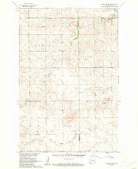
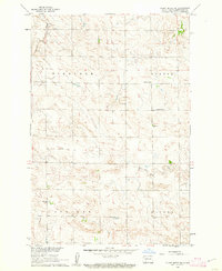
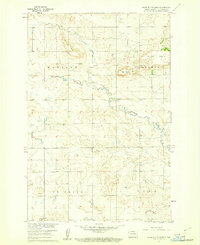
Editions of this 1960 White Butte East Map
This is the sole edition of this map. No revisions or reprints were ever made.
Historical Maps of Hettinger County Through Time
19 maps found
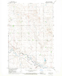
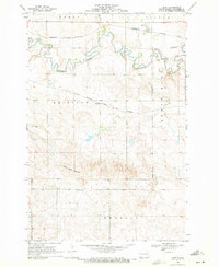
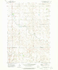
1960 Clark Butte
Hettinger County, ND
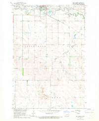
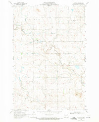
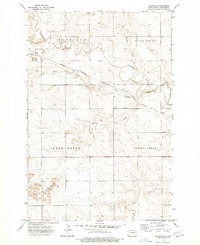
1960 Clark Butte SW
Hettinger County, ND
1960 White Butte East
Hettinger County, ND
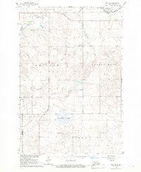
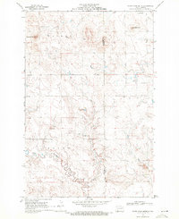
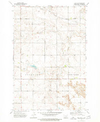
1960 White Butte West
Hettinger County, ND
1966 Mott North
Hettinger County, ND
1966 Mott NW
Hettinger County, ND
1966 Mott South
Hettinger County, ND
1966 Mott SW
Hettinger County, ND
1969 Bentley
Hettinger County, ND
1969 Burt
Hettinger County, ND
1969 Burt NW
Hettinger County, ND
1969 North Star Butte
Hettinger County, ND
1973 Abbey Hill
Hettinger County, ND
1973 Enterprise School
Hettinger County, ND
1973 Havelock
Hettinger County, ND
1973 Jung Lake
Hettinger County, ND
1973 Lefor SW
Hettinger County, ND
1973 Liens Dams
Hettinger County, ND
1973 Stony Butte
Hettinger County, ND