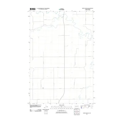
2011 Map of White Butte NE
USGS Topo · Published 2011About this map
The Heart River meanders across the northern reaches of this Stark County landscape, joined by the waters of Plum Creek as it winds through a terrain defined by agricultural section lines. In the southwestern corner, the Lime Hills provide a distinct topographic break from the surrounding plains, while the eastern edge of the quadrangle is marked by the drainage of Buffalo Creek and Beaver Creek. This 2011 survey illustrates the precise rectangular survey system of the American West, where a network of rural roads such as 86th Ave SW and 50th St SW follows section boundaries to connect isolated farmsteads. The lack of concentrated settlements highlights the vast, open character of the North Dakota prairie in the early 21st century.
Find a feature on this map
22 named features on this map. Tap any name to fly to it.
Don’t see what you’re looking for? This feature index may not catch every label — zoom into the map to look around manually.
Map Details
Editions of this 2011 White Butte NE Map
This is the sole edition of this map. No revisions or reprints were ever made.
Other maps of this area

1953 · Dickinson
USGS Topo · 1:250,000

1957 · Dickinson
USGS Topo · 1:250,000

1960 · White Butte West
USGS Topo · 1:24,000

1960 · White Butte NW
USGS Topo · 1:24,000

1960 · Clark Butte NW
USGS Topo · 1:24,000

1960 · White Butte NE
USGS Topo · 1:24,000

1960 · Clark Butte SW
USGS Topo · 1:24,000

1960 · White Butte East
USGS Topo · 1:24,000

1973 · Bratburg Butte
USGS Topo · 1:24,000

1973 · Richardton SE
USGS Topo · 1:24,000