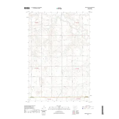
2017 Map of White Butte NE
USGS Topo · Published 2017About this map
Lime Hills rise above the high plains where the border of Stark Co and Hettinger Co meets in southwestern North Dakota. This landscape is defined by the drainage patterns of the Heart River, which cuts through the northern sections, and several intermittent tributaries including Plum Cr and Buffalo Cr. The map reveals a highly structured grid of section lines and rural roads, such as 48th St SW and 54th St SW, which trace the path of agricultural settlement across the prairie. Small watercourses like Boulder Cr and Beaver Cr flow through the southern reaches of the quadrangle, illustrating the subtle hydrology that supports ranching and farming in this part of the state.
Find a feature on this map
21 named features on this map. Tap any name to fly to it.
Don’t see what you’re looking for? This feature index may not catch every label — zoom into the map to look around manually.
Map Details
Editions of this 2017 White Butte NE Map
This is the sole edition of this map. No revisions or reprints were ever made.
Other maps of this area

1953 · Dickinson
USGS Topo · 1:250,000

1957 · Dickinson
USGS Topo · 1:250,000

1960 · White Butte West
USGS Topo · 1:24,000

1960 · White Butte NW
USGS Topo · 1:24,000

1960 · Clark Butte NW
USGS Topo · 1:24,000

1960 · White Butte NE
USGS Topo · 1:24,000

1960 · Clark Butte SW
USGS Topo · 1:24,000

1960 · White Butte East
USGS Topo · 1:24,000

1973 · Bratburg Butte
USGS Topo · 1:24,000

1973 · Richardton SE
USGS Topo · 1:24,000