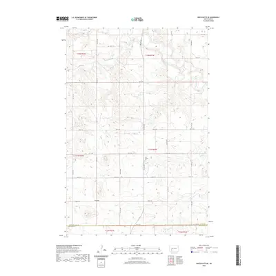
2020 Map of White Butte NE
USGS Topo · Published 2020About this map
The Heart River winds through the northern portion of this landscape, carving through a region defined by its drainage basins and section-line roads. The terrain is marked by the distinctive Lime Hills in the southwest, rising above the surrounding prairie. A significant local landmark, Saint Stephens Cem is located near the center of the survey area, providing a specific point of interest for those researching local family history or the early placement of community institutions in this rural North Dakota landscape.
Find a feature on this map
21 named features on this map. Tap any name to fly to it.
Don’t see what you’re looking for? This feature index may not catch every label — zoom into the map to look around manually.
Map Details
Editions of this 2020 White Butte NE Map
This is the sole edition of this map. No revisions or reprints were ever made.
Other maps of this area

1953 · Dickinson
USGS Topo · 1:250,000

1957 · Dickinson
USGS Topo · 1:250,000

1960 · White Butte West
USGS Topo · 1:24,000

1960 · White Butte NW
USGS Topo · 1:24,000

1960 · Clark Butte NW
USGS Topo · 1:24,000

1960 · White Butte NE
USGS Topo · 1:24,000

1960 · Clark Butte SW
USGS Topo · 1:24,000

1960 · White Butte East
USGS Topo · 1:24,000

1973 · Bratburg Butte
USGS Topo · 1:24,000

1973 · Richardton SE
USGS Topo · 1:24,000