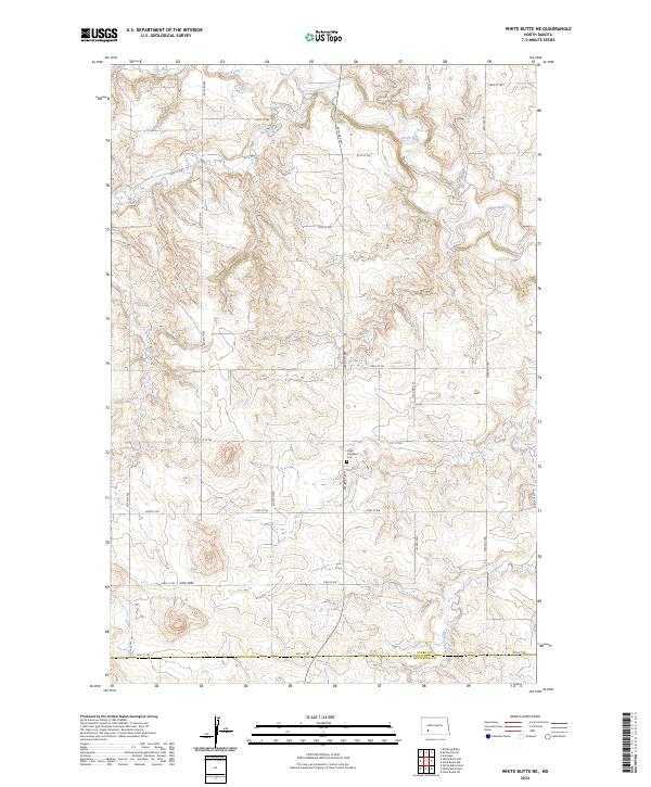
2024 Map of White Butte NE
USGS Topo · Published 2024About this map
The Heart River meanders through the northern reaches of this landscape, carving a distinctive drainage pattern alongside its tributaries Plum Creek and Buffalo Creek. This area of southwestern North Dakota is defined by a grid of section lines and rural roads, such as 88th Ave SW and 51st St SW, which partition the high prairie. The Saint Stephens Cem serves as a central landmark for local family history, situated near the intersection of several township boundaries including t137n r92w. Further south, the terrain rises into the Lime Hills, where the map shows the transition across the Stark Co Hettinger Co line. This survey captures a rural environment where land use is dictated by the rugged topography and the seasonal flow of Beaver Creek.
Find a feature on this map
28 named features on this map. Tap any name to fly to it.
Don’t see what you’re looking for? This feature index may not catch every label — zoom into the map to look around manually.
Map Details
Editions of this 2024 White Butte NE Map
This is the sole edition of this map. No revisions or reprints were ever made.
Other maps of this area

1953 · Dickinson
USGS Topo · 1:250,000

1957 · Dickinson
USGS Topo · 1:250,000

1960 · White Butte West
USGS Topo · 1:24,000

1960 · White Butte NW
USGS Topo · 1:24,000

1960 · Clark Butte NW
USGS Topo · 1:24,000

1960 · White Butte NE
USGS Topo · 1:24,000

1960 · Clark Butte SW
USGS Topo · 1:24,000

1960 · White Butte East
USGS Topo · 1:24,000

1973 · Bratburg Butte
USGS Topo · 1:24,000

1973 · Richardton SE
USGS Topo · 1:24,000