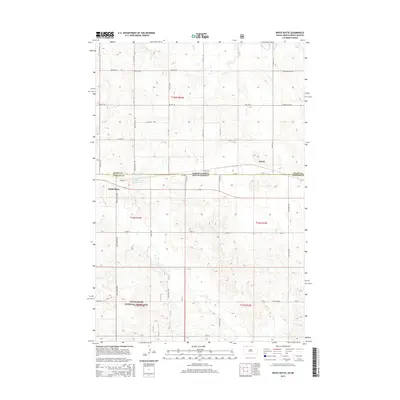
2015 Map of White Butte
USGS Topo · Published 2015About this map
The North Dakota South Dakota border divides this landscape where the Great Plains meet the ranching country of Adams and Perkins counties. Small prairie settlements like White Butte and Petrel anchor a grid of rural roads, including White Butte Rd and Railway St, reflecting the region's historical reliance on rail and agriculture. To the north, the terrain is drained by the meandering Duck Cr, while the southern portion of the map is defined by the protected acreage of the Grand River National Grassland. Local history is centered on landmarks such as the Petrel Cem and the White Butte Reservoir, providing essential water and community focal points in an area shaped by the natural flow of Flat Creek. This 2015 survey details the survey townships of t129n r93w and t23n r14e during a period of modern land management.
Find a feature on this map
27 named features on this map. Tap any name to fly to it.
Don’t see what you’re looking for? This feature index may not catch every label — zoom into the map to look around manually.
Map Details
Editions of this 2015 White Butte Map
This is the sole edition of this map. No revisions or reprints were ever made.
Other maps of this area

1953 · Dickinson
USGS Topo · 1:250,000

1954 · Lemmon
USGS Topo · 1:250,000

1957 · Dickinson
USGS Topo · 1:250,000

1957 · Lemmon
USGS Topo · 1:250,000

1974 · Cedar Butte
USGS Topo · 1:24,000

1974 · White Butte
USGS Topo · 1:24,000

1974 · Lemmon
USGS Topo · 1:24,000

1974 · Haynes
USGS Topo · 1:24,000

1980 · Mott
USGS Topo · 1:100,000

1983 · Haynes SE
USGS Topo · 1:24,000