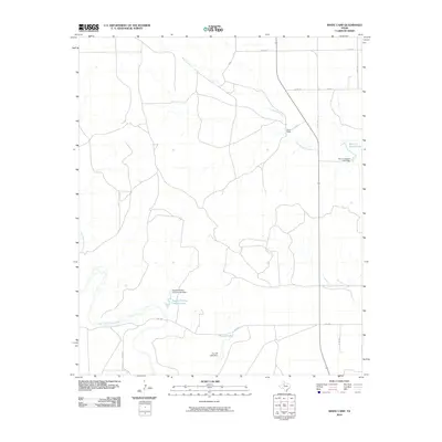
2010 Map of White Camp
USGS Topo · Published 2010About this map
White Camp stands at the intersection of a remote ranching landscape in Kent County, where the hydrology of the Rolling Plains is managed through a series of named earthen structures and reservoirs. Water management is a primary feature of this terrain, evidenced by family-named landmarks like Mrs J H Brown Lake and Hagins Panther Canyon Lake, each with its associated dam. These water sources are vital in a region where seasonal drainages such as West Prong Duck Creek and Dry Duck Creek define the topography.
Find a feature on this map
20 named features on this map. Tap any name to fly to it.
Don’t see what you’re looking for? This feature index may not catch every label — zoom into the map to look around manually.
Map Details
Editions of this 2010 White Camp Map
This is the sole edition of this map. No revisions or reprints were ever made.
Other maps of this area

1954 · Lubbock
USGS Topo · 1:250,000

1959 · Gilpin
USGS Topo · 1:24,000

1959 · Girard
USGS Topo · 1:24,000

1967 · Spur
USGS Topo · 1:24,000

1967 · Spur NW
USGS Topo · 1:24,000

1968 · Spur SW
USGS Topo · 1:24,000

1968 · White Camp
USGS Topo · 1:24,000

1969 · Clairemont East
USGS Topo · 1:24,000

1969 · Clairemont West
USGS Topo · 1:24,000

1969 · T-O Creek
USGS Topo · 1:24,000