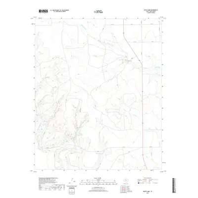
2019 Map of White Camp
USGS Topo · Published 2019About this map
White Camp sits at the center of this Kent County landscape, where the drainage of W Prong Duck Cr and Dry Duck Cr carves through the Texas plains. The area is defined by its water management and ranching infrastructure, evidenced by several named reservoirs such as Mrs J H Brown Lake and Pouroff Lake. In the southwestern corner, the Salt Fork Brazos River creates a more complex network of draws and breaks as it winds through the territory. This 2019 survey documents a sparsely populated region primarily accessible via farm-to-market roads and local county routes. The naming of Hagins Panther Canyon Lake suggests a landscape tied to specific landholders and local nomenclature, typical of the Rolling Plains region. The map captures the subtle elevation changes near Little Red Mud Cr, providing a clear look at the hydrologic patterns that dictate life and industry in this part of West Texas.
Find a feature on this map
23 named features on this map. Tap any name to fly to it.
Don’t see what you’re looking for? This feature index may not catch every label — zoom into the map to look around manually.
Map Details
Editions of this 2019 White Camp Map
This is the sole edition of this map. No revisions or reprints were ever made.
Other maps of this area

1954 · Lubbock
USGS Topo · 1:250,000

1959 · Gilpin
USGS Topo · 1:24,000

1959 · Girard
USGS Topo · 1:24,000

1967 · Spur
USGS Topo · 1:24,000

1967 · Spur NW
USGS Topo · 1:24,000

1968 · Spur SW
USGS Topo · 1:24,000

1968 · White Camp
USGS Topo · 1:24,000

1969 · Clairemont East
USGS Topo · 1:24,000

1969 · Clairemont West
USGS Topo · 1:24,000

1969 · T-O Creek
USGS Topo · 1:24,000