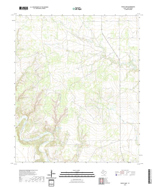
2022 Map of White Camp
USGS Topo · Published 2022About this map
The Salt Fork Brazos River winds through this section of Kent County, defining a landscape of deep canyons and seasonal watercourses. The drainage patterns are dominated by the winding paths of W Prong Duck Cr and its counterpart, the West Prong Duck Creek, alongside the smaller Dry Duck Cr. Several named bodies of water, including Mrs J H Brown Lake and Hagins Panther Canyon Lake, suggest a history of localized water management for ranching or private use in this arid region.
Find a feature on this map
18 named features on this map. Tap any name to fly to it.
Don’t see what you’re looking for? This feature index may not catch every label — zoom into the map to look around manually.
Map Details
Editions of this 2022 White Camp Map
This is the sole edition of this map. No revisions or reprints were ever made.
Other maps of this area

1954 · Lubbock
USGS Topo · 1:250,000

1959 · Gilpin
USGS Topo · 1:24,000

1959 · Girard
USGS Topo · 1:24,000

1967 · Spur
USGS Topo · 1:24,000

1967 · Spur NW
USGS Topo · 1:24,000

1968 · Spur SW
USGS Topo · 1:24,000

1968 · White Camp
USGS Topo · 1:24,000

1969 · Clairemont East
USGS Topo · 1:24,000

1969 · Clairemont West
USGS Topo · 1:24,000

1969 · T-O Creek
USGS Topo · 1:24,000