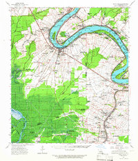
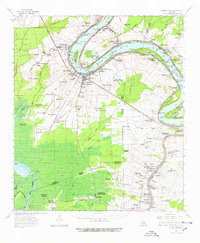
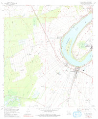
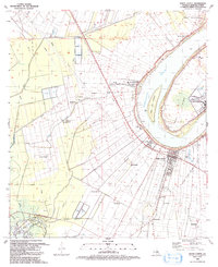
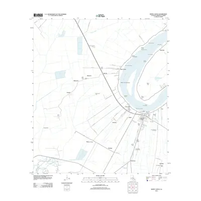
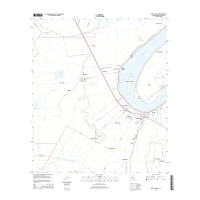
1963 Map of White Castle
USGS Topo · Published 1966About this map
The Mississippi River creates a dramatic curve at the heart of this region, shaping the development of White Castle and surrounding plantation settlements in the 1960s. The riverbank is dotted with historic river landings such as Hard Times Ldg, Elenora Ldg, and Chatham Ldg, reflecting a landscape defined by water-based commerce and agriculture. Away from the main channel, the Texas and Pacific railroad parallels the western bank, connecting communities like Dorcyville and Barton.
Find a feature on this map
141 named features on this map. Tap any name to fly to it.
Don’t see what you’re looking for? This feature index may not catch every label — zoom into the map to look around manually.
Map Details
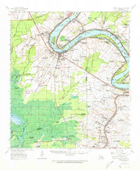
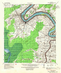
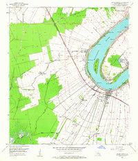
Editions of this 1963 White Castle Map
3 editions found
Historical Maps of Donaldsonville Through Time
10 maps found
1936 White Castle
Iberville Parish, LA
1953 White Castle
Iberville Parish, LA
1963 White Castle
Iberville Parish, LA
1974 White Castle
Iberville Parish, LA
1992 White Castle
Iberville Parish, LA
2012 White Castle
Iberville Parish, LA
2015 White Castle
Iberville Parish, LA
2018 White Castle
Iberville Parish, LA

2020 White Castle
Iberville Parish, LA
2024 White Castle
Iberville Parish, LA