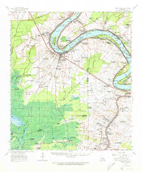
1963 Map of White Castle
USGS Topo · Published 1967About this map
The Mississippi River winds through a landscape of established sugar plantations and riverfront industry in this 1963 survey of Iberville and Ascension Parishes. The town of White Castle and the older settlement of Bayou Goula anchor the west bank, connected by the Texas and Pacific railroad and surrounded by named estates like Palo Alto Plantation. On the east bank at Carville, the National Leprosarium stands as a significant historical landmark near the river's bend.
Find a feature on this map
109 named features on this map. Tap any name to fly to it.
Don’t see what you’re looking for? This feature index may not catch every label — zoom into the map to look around manually.
Map Details
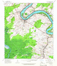
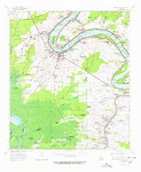
Editions of this 1963 White Castle Map
3 editions found
Other maps of this area

1892 · Donaldsonville
USGS Topo · 1:62,500

1892 · Thibodaux
USGS Topo · 1:62,500

1908 · Baton Rouge
USGS Topo · 1:62,500

1927 · Thibodaux NW
USGS Topo · 1:31,680

1934 · Denham Springs
USGS Topo · 1:62,500

1935 · Gonzales
USGS Topo · 1:31,680

1935 · Chicot Lake
USGS Topo · 1:62,500

1936 · White Castle
USGS Topo · 1:62,500

1939 · Denham Springs
USGS Topo · 1:62,500

1939 · Baton Rouge
USGS Topo · 1:62,500