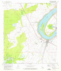
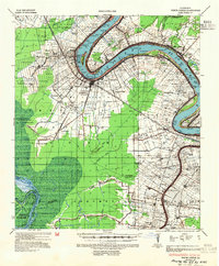
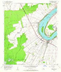
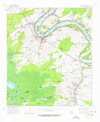
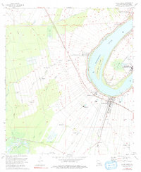
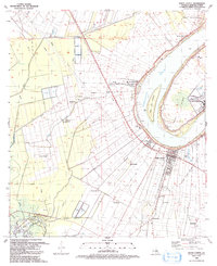
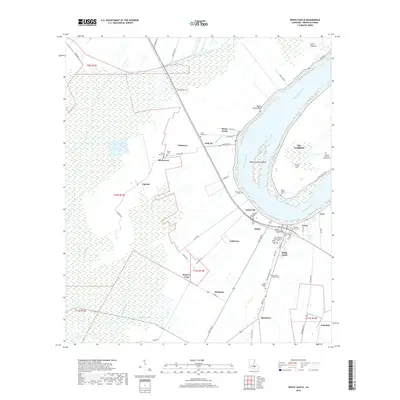
1974 Map of White Castle
USGS Topo · Published 1975About this map
White Castle Oil Field and numerous crawfish farms define the industrial and agricultural landscape of this Iberville Parish riverfront during the mid-1970s. The Mississippi River creates a dramatic bend at Clair Point, sheltering the Bayou Goula Towhead and the extensive grounds of the National Leprosarium. The Texas and Pacific railroad corridor serves as the spine for a string of river-town settlements including Bayou Goula, Dorcyville, and White Castle.
Find a feature on this map
46 named features on this map. Tap any name to fly to it.
Don’t see what you’re looking for? This feature index may not catch every label — zoom into the map to look around manually.
Map Details
Editions of this 1974 White Castle Map
2 editions found
Historical Maps of White Castle Through Time
10 maps found
1936 White Castle
Iberville Parish, LA
1953 White Castle
Iberville Parish, LA
1963 White Castle
Iberville Parish, LA
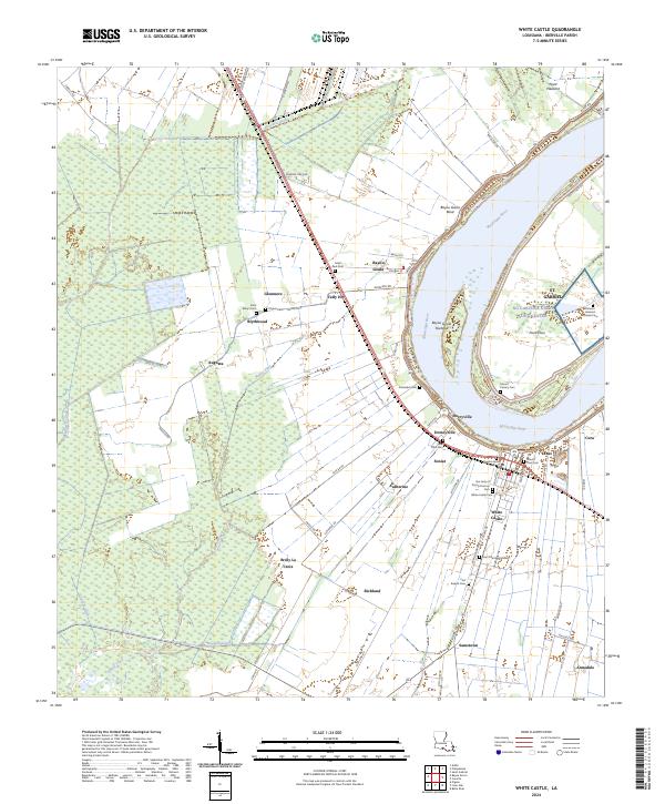
1974 White Castle
Iberville Parish, LA
1992 White Castle
Iberville Parish, LA
2012 White Castle
Iberville Parish, LA
2015 White Castle
Iberville Parish, LA
2018 White Castle
Iberville Parish, LA

2020 White Castle
Iberville Parish, LA
2024 White Castle
Iberville Parish, LA