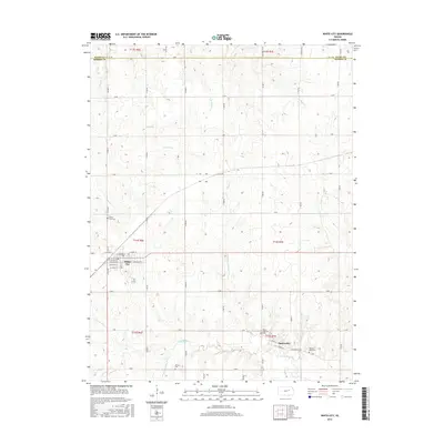
2015 Map of White City
USGS Topo · Published 2015About this map
The White City street grid, featuring names like W Stover St and Stockholm St, sits at the intersection of a rural landscape north of the Neosho River. This Morris County terrain is defined by its drainage systems, where Thomas Cr and Rolls Cr flow toward the larger river basin. To the southeast, the small community of Parkerville lies near the banks of the Neosho, showing a compact cluster of development along Front St and Parkerville Rd.
Find a feature on this map
55 named features on this map. Tap any name to fly to it.
Don’t see what you’re looking for? This feature index may not catch every label — zoom into the map to look around manually.
Map Details
Editions of this 2015 White City Map
This is the sole edition of this map. No revisions or reprints were ever made.
Other maps of this area

1889 · Parkerville
USGS Topo · 1:125,000

1894 · Parkerville
USGS Topo · 1:125,000

1955 · Hutchinson
USGS Topo · 1:250,000

1959 · Hutchinson
USGS Topo · 1:250,000

1964 · Skiddy
USGS Topo · 1:24,000
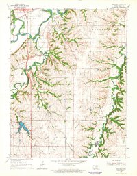
1964 · Wreford
USGS Topo · 1:24,000
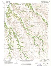
1971 · White City NW
USGS Topo · 1:24,000
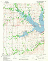
1971 · Council Grove Lake
USGS Topo · 1:24,000
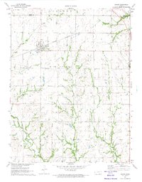
1971 · Dwight
USGS Topo · 1:24,000
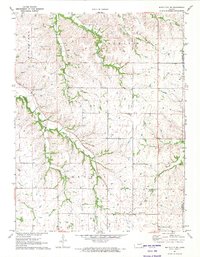
1971 · White City NE
USGS Topo · 1:24,000