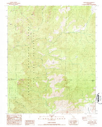
1987 Map of White Dome
USGS Topo · Published 1987About this map
Dome Land Wilderness dominates this mid-1980s terrain where the Sierra Nevada high country transitions between Tulare and Kern counties. The landscape is defined by the drainage of the South Fork Kern River, which cuts through the heart of the Sequoia National Forest. Named high points like White Dome and Black Mountain overlook a complex system of seasonal and perennial waterways including Taylor Creek, Palome Creek, and Manter Creek.
Find a feature on this map
17 named features on this map. Tap any name to fly to it.
Don’t see what you’re looking for? This feature index may not catch every label — zoom into the map to look around manually.
Map Details
Editions of this 1987 White Dome Map
2 editions found
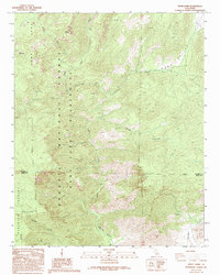
Other maps of this area

1906 · Kernville
USGS Topo · 1:125,000

1908 · Kernville
USGS Topo · 1:125,000

1943 · Onyx
USGS Topo · 1:62,500

1943 · Isabella
USGS Topo · 1:62,500

1948 · Bakersfield
USGS Topo · 1:250,000

1955 · Bakersfield
USGS Topo · 1:250,000

1956 · Bakersfield
USGS Topo · 1:250,000
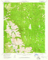
1956 · Kernville
USGS Topo · 1:62,500
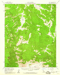
1956 · Lamont Peak
USGS Topo · 1:62,500

1960 · Bakersfield
USGS Topo · 1:250,000