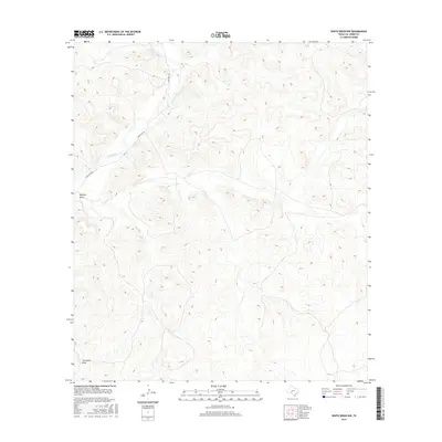
2016 Map of White Draw NW
USGS Topo · Published 2016About this map
The Devils River winds through this arid section of Val Verde County, defining the drainage patterns of a landscape marked by deep, seasonal watercourses. Large-scale topographic relief is illustrated by the paths of Buckley Draw and Threemile Draw, which cut through the limestone terrain to reach the river valley. Human presence is concentrated along the corridor of Ranch Rd 189, which provides the primary access route through this remote ranching country. The placement of these water sources and primitive roads reflects the enduring importance of topography in West Texas navigation, where natural draws often dictate the placement of ranch infrastructure and transportation lines.
Find a feature on this map
4 named features on this map. Tap any name to fly to it.
Don’t see what you’re looking for? This feature index may not catch every label — zoom into the map to look around manually.
Map Details
Editions of this 2016 White Draw NW Map
This is the sole edition of this map. No revisions or reprints were ever made.
Other maps of this area

1954 · Sonora
USGS Topo · 1:250,000

1958 · Sonora
USGS Topo · 1:250,000

1967 · Flat Rock Draw SE
USGS Topo · 1:24,000

1967 · Flat Rock Draw SW
USGS Topo · 1:24,000

1970 · Juno
USGS Topo · 1:24,000

1970 · Brushy Draw
USGS Topo · 1:24,000

1970 · Deaton Draw
USGS Topo · 1:24,000

1973 · White Draw NW
USGS Topo · 1:24,000

1973 · Robinson Draw
USGS Topo · 1:24,000
1973 · White Draw NE
USGS Topo · 1:24,000