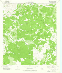
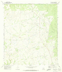
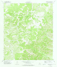
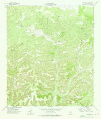
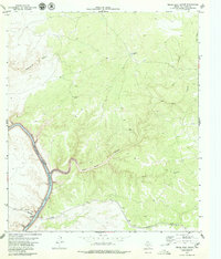
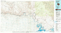
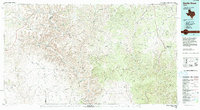
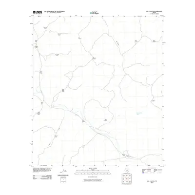
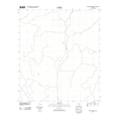
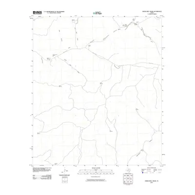
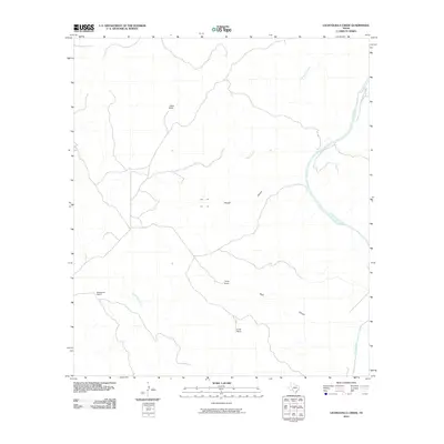
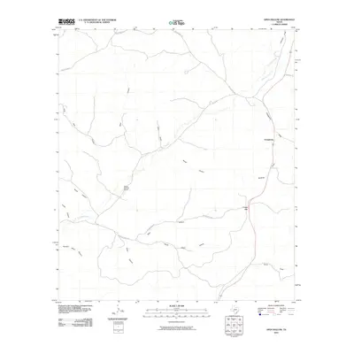
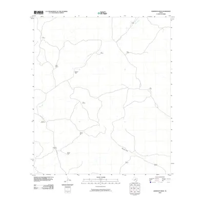
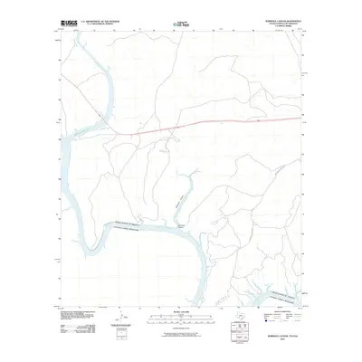
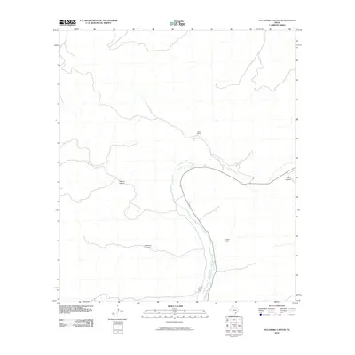
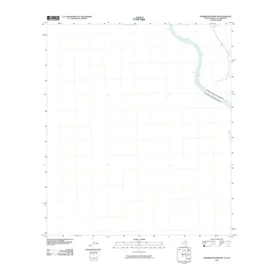
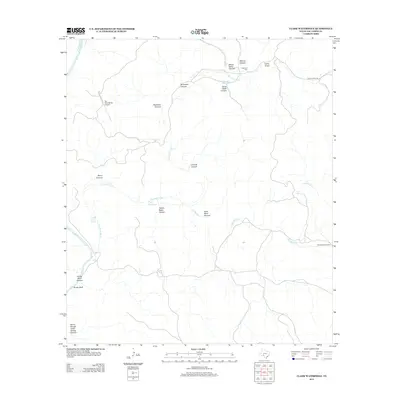
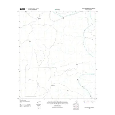
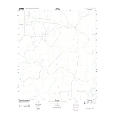
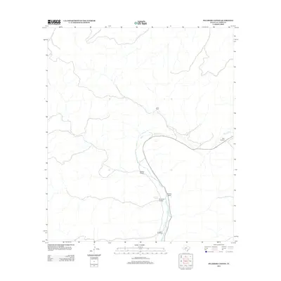
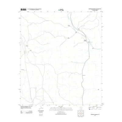
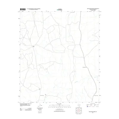
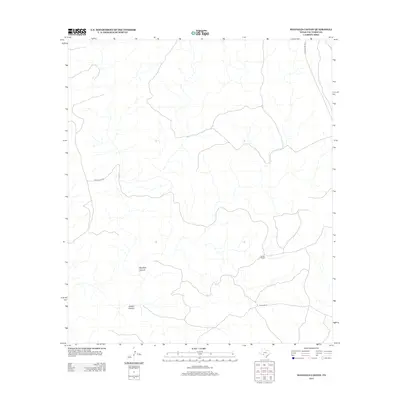
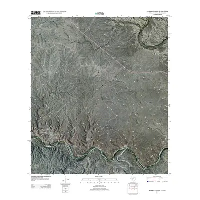
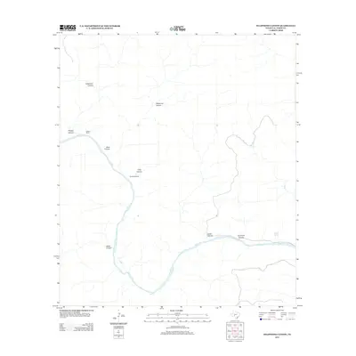
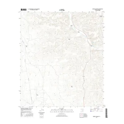
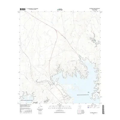
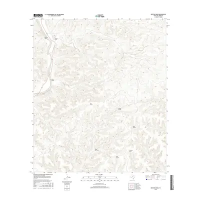
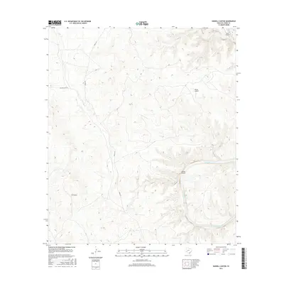
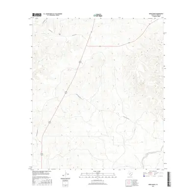
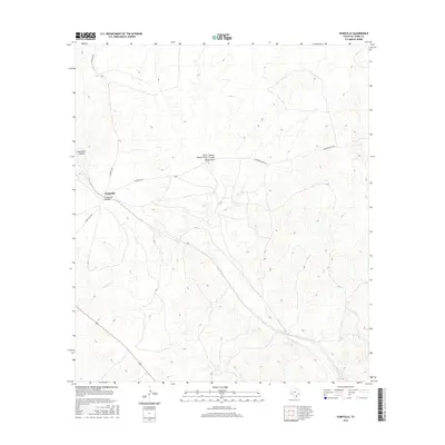
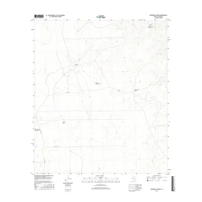
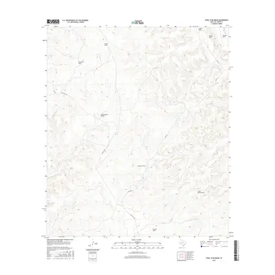
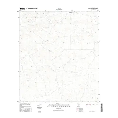
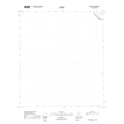
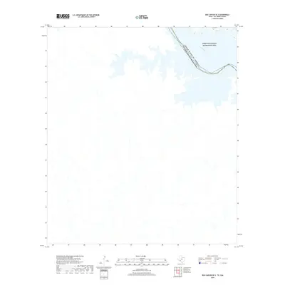
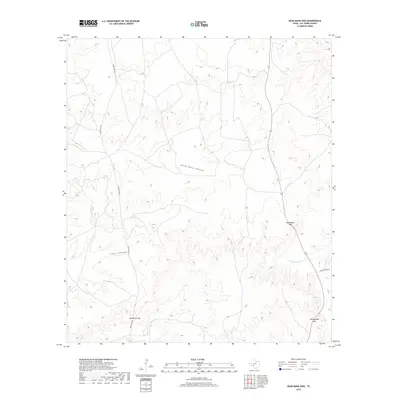
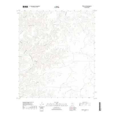
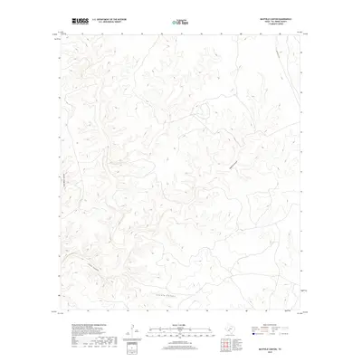
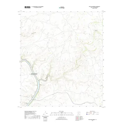
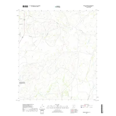
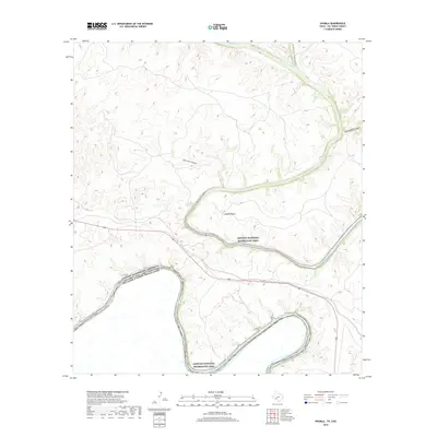
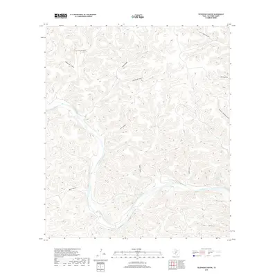
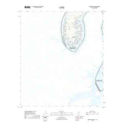
1973 Map of White Draw NE
USGS Topo · Published 1976About this map
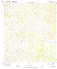
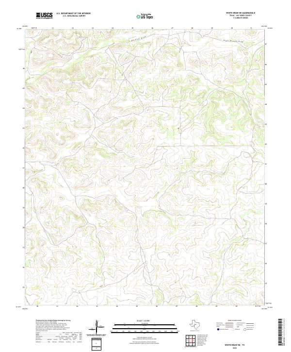
The Jim Bob Altizer Ranch and Willie B Whitehead Ranch anchor this West Texas landscape, illustrating the dispersed settlement patterns of the Edwards Plateau in the early 1970s. The terrain is defined by the deep incisions of Buckley Draw and Dolan Creek, where the scarcity of surface water is evidenced by the density of named water infrastructure. Numerous family-named landmarks such as the Tejon Windmill, Old House Windmill, and Cedar Bluff Windmill indicate the vital role of groundwater for these remote ranching operations.
Find a feature on this map
22 named features on this map. Tap any name to fly to it.
Don’t see what you’re looking for? This feature index may not catch every label — zoom into the map to look around manually.
Map Details
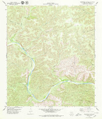
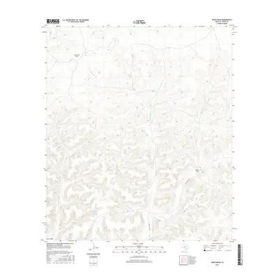
Editions of this 1973 White Draw NE Map
2 editions found
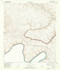
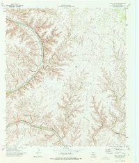
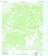
Historical Maps of Val Verde County Through Time
303 maps found

1941 Feely
Val Verde County, TX
1943 Devils River
Val Verde County, TX
1943 Langtry
Val Verde County, TX

1943 Shumla
Val Verde County, TX

1944 Baker Crossing
Val Verde County, TX
1944 Devils Lake
Val Verde County, TX

1944 Devils River
Val Verde County, TX

1944 Dry Devil
Val Verde County, TX

1944 Mouth Of Pecos
Val Verde County, TX

1970 Bee Canyon
Val Verde County, TX
1970 Blue Hills
Val Verde County, TX

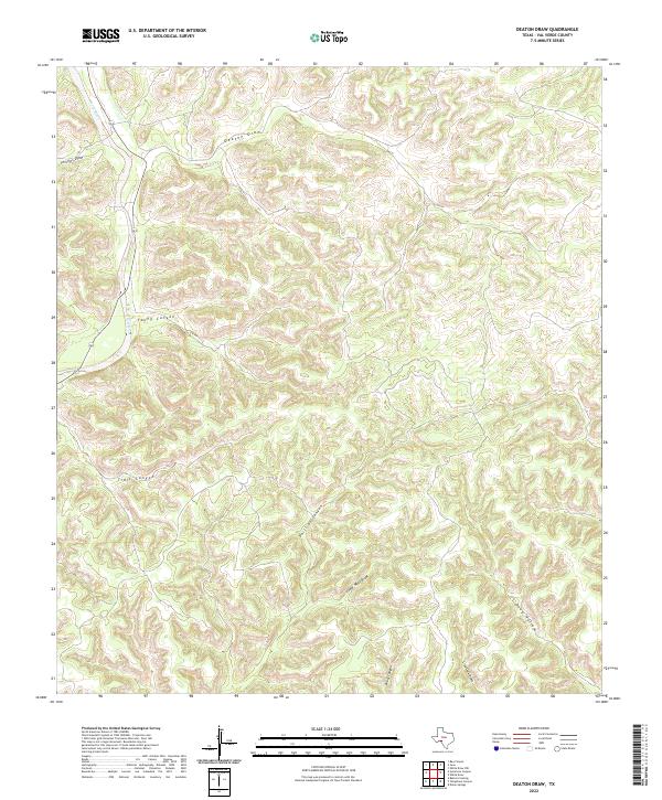
1970 Deaton Draw
Val Verde County, TX
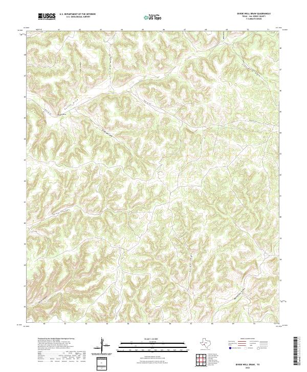
1970 Divide Well Draw
Val Verde County, TX

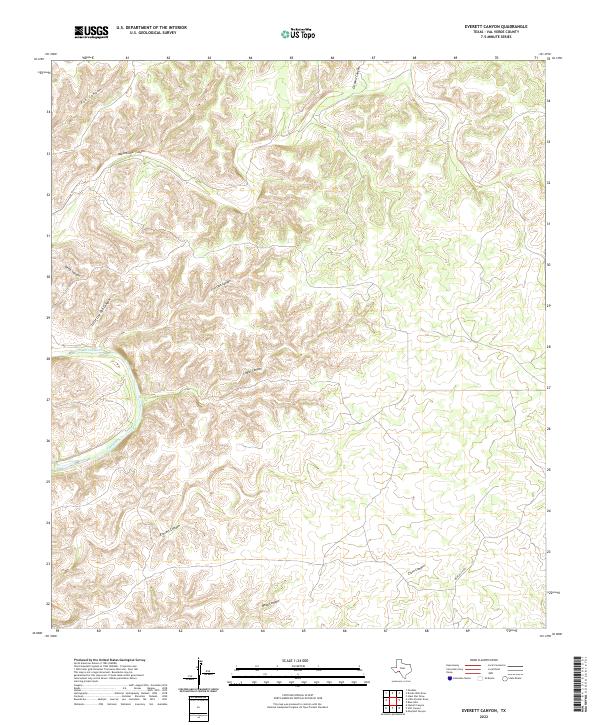
1970 Everett Canyon
Val Verde County, TX

1970 Juno
Val Verde County, TX

1970 Little Fielder Draw
Val Verde County, TX

1970 Pandale
Val Verde County, TX

1970 Steel Star Draw
Val Verde County, TX

1970 Sycamore Canyon
Val Verde County, TX

1972 Amistad Dam
Val Verde County, TX

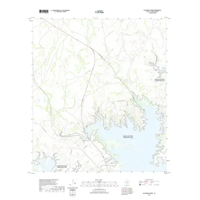
1972 California Creek
Val Verde County, TX

1972 Comstock
Val Verde County, TX

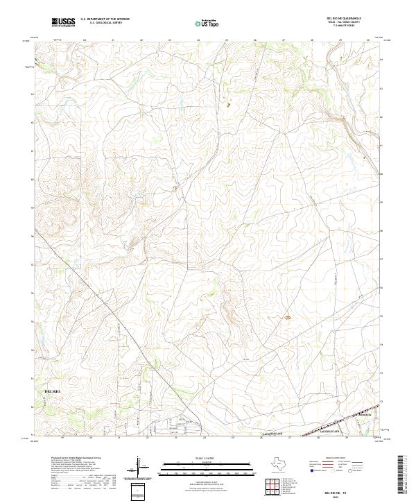
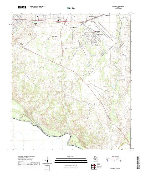
1972 Del Rio NE
Val Verde County, TX

1972 Del Rio NW
Val Verde County, TX

1972 Del Rio SE
Val Verde County, TX

1972 Del Rio SW
Val Verde County, TX

1972 Gillis Ranch
Val Verde County, TX

1972 Miers Ranch
Val Verde County, TX

1972 Rough Canyon SE
Val Verde County, TX

1972 Rough Canyon
Val Verde County, TX
1972 Satan Canyon
Val Verde County, TX

1972 Seminole Canyon
Val Verde County, TX

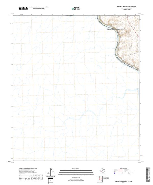
1972 Zuberbueler Bend NW
Val Verde County, TX

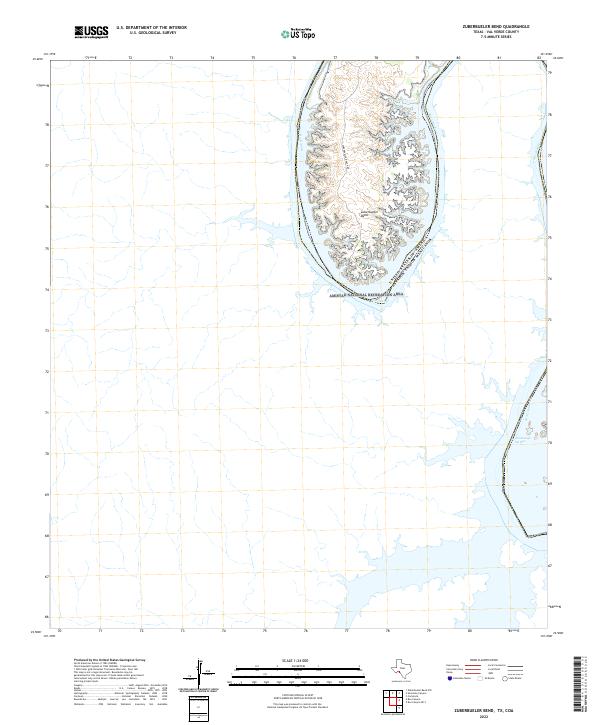
1972 Zuberbueler Bend
Val Verde County, TX

1973 Hackberry Crossing
Val Verde County, TX
1973 Harkell Canyon
Val Verde County, TX

1973 Langtry
Val Verde County, TX
1973 Robinson Draw
Val Verde County, TX
1973 Shumla
Val Verde County, TX
1973 Still Canyon
Val Verde County, TX
1973 White Draw NE
Val Verde County, TX

1973 White Draw NW
Val Verde County, TX
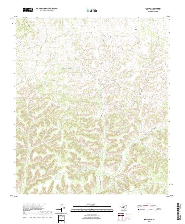
1973 White Draw
Val Verde County, TX
1978 Open Hollow
Val Verde County, TX
1979 Bakers Crossing
Val Verde County, TX
1979 Carruthers Draw
Val Verde County, TX
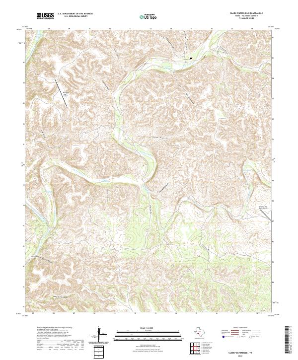
1979 Clark Waterhole
Val Verde County, TX
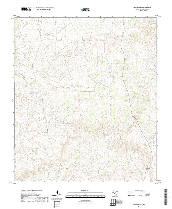
1979 Dead Mans Pass
Val Verde County, TX
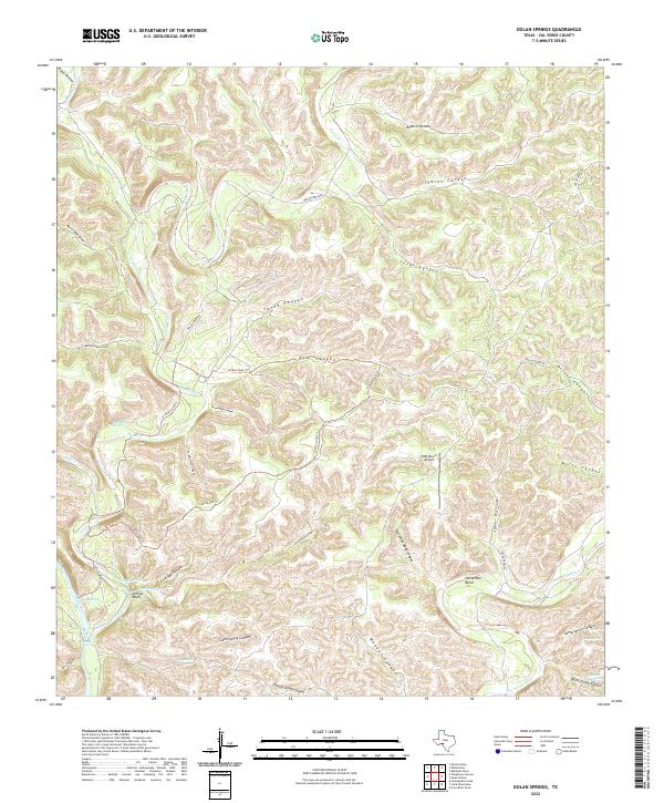
1979 Dolan Springs
Val Verde County, TX
1979 Lechuguilla Creek
Val Verde County, TX
1979 Pecos High Bridge
Val Verde County, TX
1979 Telephone Canyon
Val Verde County, TX

1980 Pumpville
Val Verde County, TX
1980 Ramsey Canyon
Val Verde County, TX

1980 Roundhill Ranch
Val Verde County, TX
1985 Amistad Village
Val Verde County, TX
1985 Comstock
Val Verde County, TX
1985 Devils Draw
Val Verde County, TX
2010 Amistad Dam OE S
Val Verde County, TX

2010 Amistad Dam
Val Verde County, TX
2010 Bakers Crossing
Val Verde County, TX
2010 Bee Canyon
Val Verde County, TX
2010 Blue Hills
Val Verde County, TX
2010 Box Canyon OE S
Val Verde County, TX
2010 California Creek
Val Verde County, TX
2010 Carruthers Draw
Val Verde County, TX
2010 Clark Waterhole
Val Verde County, TX

2010 Comstock
Val Verde County, TX
2010 Dead Mans Pass
Val Verde County, TX
2010 Deaton Draw
Val Verde County, TX

2010 Del Rio NE
Val Verde County, TX

2010 Del Rio NW
Val Verde County, TX

2010 Del Rio SE
Val Verde County, TX

2010 Del Rio SW
Val Verde County, TX
2010 Divide Well Draw
Val Verde County, TX
2010 Dolan Springs
Val Verde County, TX
2010 Everett Canyon
Val Verde County, TX

2010 Gillis Ranch
Val Verde County, TX

2010 Hackberry Crossing
Val Verde County, TX
2010 Harkell Canyon
Val Verde County, TX

2010 Juno
Val Verde County, TX

2010 Langtry
Val Verde County, TX
2010 Lechuguilla Creek
Val Verde County, TX
2010 Little Fielder Draw
Val Verde County, TX
2010 Mayfield Canyon
Val Verde County, TX
2010 Miers Ranch
Val Verde County, TX
2010 Open Hollow
Val Verde County, TX
2010 Pandale
Val Verde County, TX

2010 Pecos High Bridge
Val Verde County, TX
2010 Pumpville
Val Verde County, TX
2010 Ramsey Canyon
Val Verde County, TX
2010 Robinson Draw
Val Verde County, TX
2010 Rough Canyon SE
Val Verde County, TX

2010 Rough Canyon
Val Verde County, TX
2010 Roundhill Ranch
Val Verde County, TX
2010 Satan Canyon
Val Verde County, TX
2010 Seminole Canyon
Val Verde County, TX
2010 Shumla
Val Verde County, TX
2010 Steel Star Draw
Val Verde County, TX
2010 Still Canyon
Val Verde County, TX
2010 Sycamore Canyon
Val Verde County, TX
2010 Telephone Canyon
Val Verde County, TX
2010 White Draw NE
Val Verde County, TX

2010 White Draw NW
Val Verde County, TX
2010 White Draw
Val Verde County, TX
2010 Zuberbueler Bend NW
Val Verde County, TX
2010 Zuberbueler Bend
Val Verde County, TX
2012 Bee Canyon
Val Verde County, TX
2012 Blue Hills
Val Verde County, TX
2012 Clark Waterhole
Val Verde County, TX
2012 Deaton Draw
Val Verde County, TX
2012 Divide Well Draw
Val Verde County, TX
2012 Everett Canyon
Val Verde County, TX

2012 Hackberry Crossing
Val Verde County, TX

2012 Juno
Val Verde County, TX
2012 Little Fielder Draw
Val Verde County, TX
2012 Miers Ranch
Val Verde County, TX
2012 Pandale
Val Verde County, TX
2012 Robinson Draw
Val Verde County, TX
2012 Rough Canyon SE
Val Verde County, TX
2012 Roundhill Ranch
Val Verde County, TX
2012 Satan Canyon
Val Verde County, TX
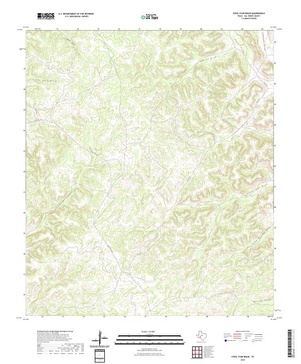
2012 Steel Star Draw
Val Verde County, TX
2012 Sycamore Canyon
Val Verde County, TX
2012 White Draw NE
Val Verde County, TX

2012 White Draw NW
Val Verde County, TX
2012 White Draw
Val Verde County, TX
2013 Amistad Dam OE S
Val Verde County, TX

2013 Amistad Dam
Val Verde County, TX
2013 Bakers Crossing
Val Verde County, TX
2013 Box Canyon OE S
Val Verde County, TX
2013 California Creek
Val Verde County, TX
2013 Carruthers Draw
Val Verde County, TX

2013 Comstock
Val Verde County, TX
2013 Dead Mans Pass
Val Verde County, TX

2013 Del Rio NE
Val Verde County, TX

2013 Del Rio NW
Val Verde County, TX

2013 Del Rio SE
Val Verde County, TX

2013 Del Rio SW
Val Verde County, TX
2013 Dolan Springs
Val Verde County, TX

2013 Gillis Ranch
Val Verde County, TX
2013 Harkell Canyon
Val Verde County, TX

2013 Langtry
Val Verde County, TX
2013 Lechuguilla Creek
Val Verde County, TX
2013 Mayfield Canyon
Val Verde County, TX
2013 Open Hollow
Val Verde County, TX
2013 Pecos High Bridge
Val Verde County, TX
2013 Pumpville
Val Verde County, TX
2013 Ramsey Canyon
Val Verde County, TX

2013 Rough Canyon
Val Verde County, TX
2013 Seminole Canyon
Val Verde County, TX
2013 Shumla
Val Verde County, TX
2013 Still Canyon
Val Verde County, TX
2013 Telephone Canyon
Val Verde County, TX
2013 Zuberbueler Bend NW
Val Verde County, TX
2013 Zuberbueler Bend
Val Verde County, TX
2016 Amistad Dam OE S
Val Verde County, TX

2016 Amistad Dam
Val Verde County, TX
2016 Bakers Crossing
Val Verde County, TX
2016 Bee Canyon
Val Verde County, TX
2016 Blue Hills
Val Verde County, TX
2016 Box Canyon OE S
Val Verde County, TX
2016 California Creek
Val Verde County, TX
2016 Carruthers Draw
Val Verde County, TX
2016 Clark Waterhole
Val Verde County, TX

2016 Comstock
Val Verde County, TX
2016 Dead Mans Pass
Val Verde County, TX
2016 Deaton Draw
Val Verde County, TX

2016 Del Rio NE
Val Verde County, TX

2016 Del Rio NW
Val Verde County, TX

2016 Del Rio SE
Val Verde County, TX

2016 Del Rio SW
Val Verde County, TX
2016 Divide Well Draw
Val Verde County, TX
2016 Dolan Springs
Val Verde County, TX
2016 Everett Canyon
Val Verde County, TX

2016 Gillis Ranch
Val Verde County, TX

2016 Hackberry Crossing
Val Verde County, TX
2016 Harkell Canyon
Val Verde County, TX

2016 Juno
Val Verde County, TX

2016 Langtry
Val Verde County, TX
2016 Lechuguilla Creek
Val Verde County, TX
2016 Little Fielder Draw
Val Verde County, TX
2016 Mayfield Canyon
Val Verde County, TX
2016 Miers Ranch
Val Verde County, TX
2016 Open Hollow
Val Verde County, TX
2016 Pandale
Val Verde County, TX
2016 Pecos High Bridge
Val Verde County, TX
2016 Pumpville
Val Verde County, TX
2016 Ramsey Canyon
Val Verde County, TX
2016 Robinson Draw
Val Verde County, TX
2016 Rough Canyon SE
Val Verde County, TX

2016 Rough Canyon
Val Verde County, TX
2016 Roundhill Ranch
Val Verde County, TX
2016 Satan Canyon
Val Verde County, TX
2016 Seminole Canyon
Val Verde County, TX
2016 Shumla
Val Verde County, TX
2016 Steel Star Draw
Val Verde County, TX
2016 Still Canyon
Val Verde County, TX
2016 Sycamore Canyon
Val Verde County, TX
2016 Telephone Canyon
Val Verde County, TX
2016 White Draw NE
Val Verde County, TX

2016 White Draw NW
Val Verde County, TX
2016 White Draw
Val Verde County, TX
2016 Zuberbueler Bend NW
Val Verde County, TX
2016 Zuberbueler Bend
Val Verde County, TX
2019 Amistad Dam OE S
Val Verde County, TX

2019 Amistad Dam
Val Verde County, TX
2019 Bakers Crossing
Val Verde County, TX
2019 Bee Canyon
Val Verde County, TX
2019 Blue Hills
Val Verde County, TX
2019 Box Canyon OE S
Val Verde County, TX
2019 California Creek
Val Verde County, TX
2019 Carruthers Draw
Val Verde County, TX
2019 Clark Waterhole
Val Verde County, TX

2019 Comstock
Val Verde County, TX
2019 Dead Mans Pass
Val Verde County, TX
2019 Deaton Draw
Val Verde County, TX

2019 Del Rio NE
Val Verde County, TX

2019 Del Rio NW
Val Verde County, TX

2019 Del Rio SE
Val Verde County, TX

2019 Del Rio SW
Val Verde County, TX
2019 Divide Well Draw
Val Verde County, TX
2019 Dolan Springs
Val Verde County, TX
2019 Everett Canyon
Val Verde County, TX

2019 Gillis Ranch
Val Verde County, TX

2019 Hackberry Crossing
Val Verde County, TX
2019 Harkell Canyon
Val Verde County, TX

2019 Juno
Val Verde County, TX

2019 Langtry
Val Verde County, TX
2019 Lechuguilla Creek
Val Verde County, TX
2019 Little Fielder Draw
Val Verde County, TX
2019 Mayfield Canyon
Val Verde County, TX
2019 Miers Ranch
Val Verde County, TX
2019 Open Hollow
Val Verde County, TX
2019 Pandale
Val Verde County, TX
2019 Pecos High Bridge
Val Verde County, TX
2019 Pumpville
Val Verde County, TX
2019 Ramsey Canyon
Val Verde County, TX
2019 Robinson Draw
Val Verde County, TX
2019 Rough Canyon SE
Val Verde County, TX

2019 Rough Canyon
Val Verde County, TX
2019 Roundhill Ranch
Val Verde County, TX
2019 Satan Canyon
Val Verde County, TX
2019 Seminole Canyon
Val Verde County, TX
2019 Shumla
Val Verde County, TX
2019 Steel Star Draw
Val Verde County, TX
2019 Still Canyon
Val Verde County, TX
2019 Sycamore Canyon
Val Verde County, TX
2019 Telephone Canyon
Val Verde County, TX
2019 White Draw NE
Val Verde County, TX

2019 White Draw NW
Val Verde County, TX
2019 White Draw
Val Verde County, TX
2019 Zuberbueler Bend NW
Val Verde County, TX
2019 Zuberbueler Bend
Val Verde County, TX
2022 Amistad Dam OE S
Val Verde County, TX

2022 Amistad Dam
Val Verde County, TX
2022 Bakers Crossing
Val Verde County, TX
2022 Bee Canyon
Val Verde County, TX
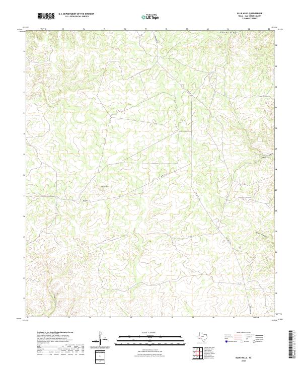
2022 Blue Hills
Val Verde County, TX
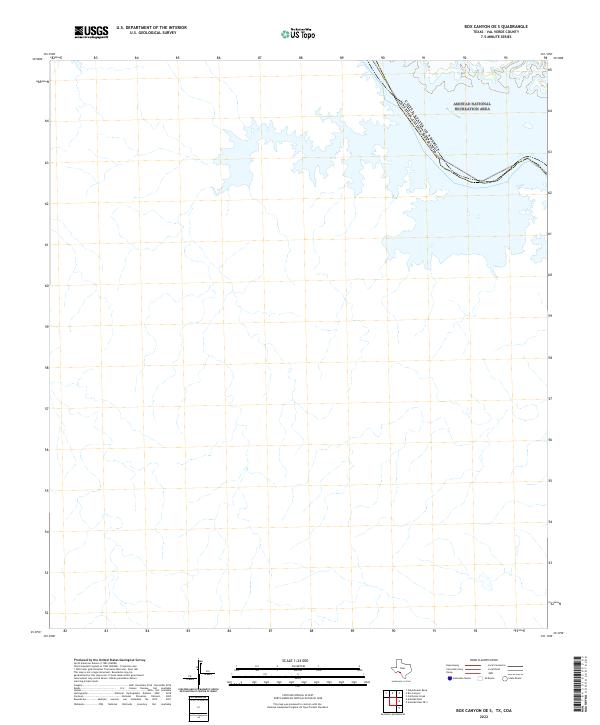
2022 Box Canyon OE S
Val Verde County, TX
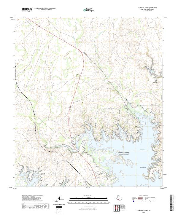
2022 California Creek
Val Verde County, TX
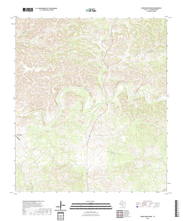
2022 Carruthers Draw
Val Verde County, TX
2022 Clark Waterhole
Val Verde County, TX

2022 Comstock
Val Verde County, TX
2022 Dead Mans Pass
Val Verde County, TX
2022 Deaton Draw
Val Verde County, TX
2022 Del Rio NE
Val Verde County, TX

2022 Del Rio NW
Val Verde County, TX
2022 Del Rio SE
Val Verde County, TX

2022 Del Rio SW
Val Verde County, TX
2022 Divide Well Draw
Val Verde County, TX
2022 Dolan Springs
Val Verde County, TX
2022 Everett Canyon
Val Verde County, TX

2022 Gillis Ranch
Val Verde County, TX

2022 Hackberry Crossing
Val Verde County, TX
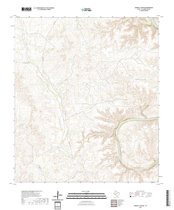
2022 Harkell Canyon
Val Verde County, TX

2022 Juno
Val Verde County, TX

2022 Langtry
Val Verde County, TX
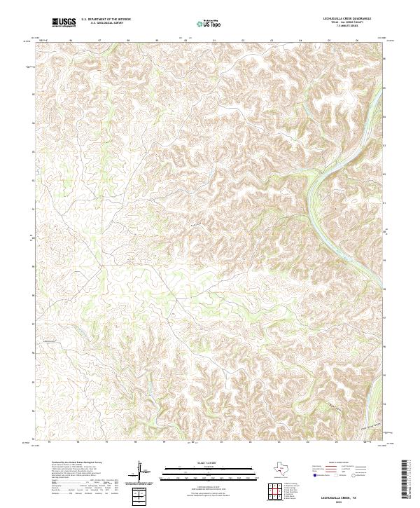
2022 Lechuguilla Creek
Val Verde County, TX
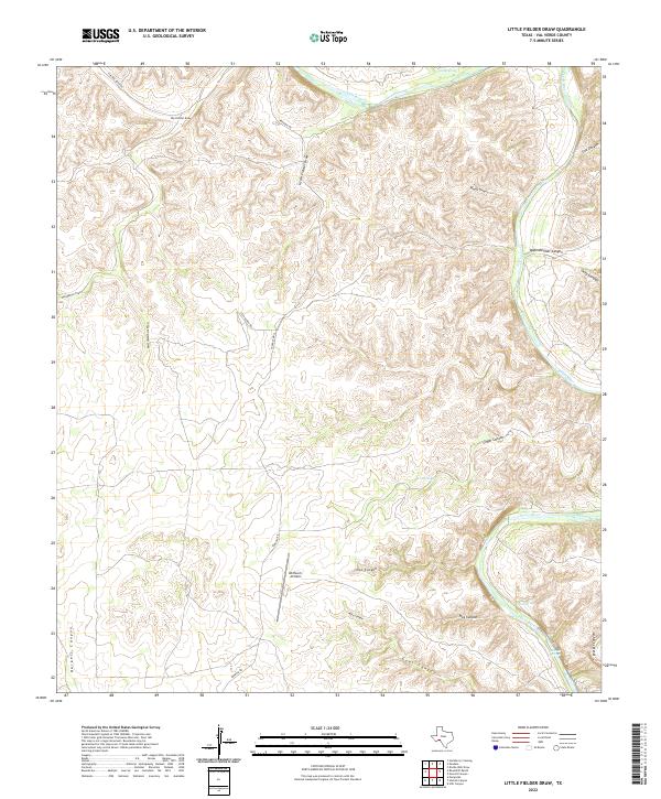
2022 Little Fielder Draw
Val Verde County, TX
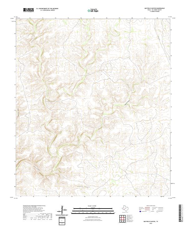
2022 Mayfield Canyon
Val Verde County, TX
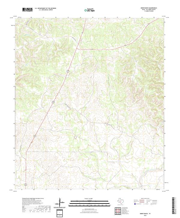
2022 Miers Ranch
Val Verde County, TX
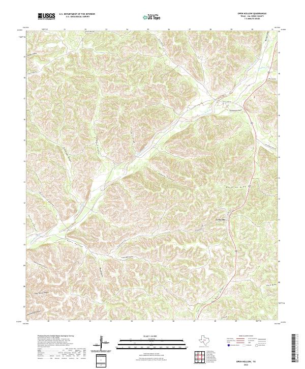
2022 Open Hollow
Val Verde County, TX
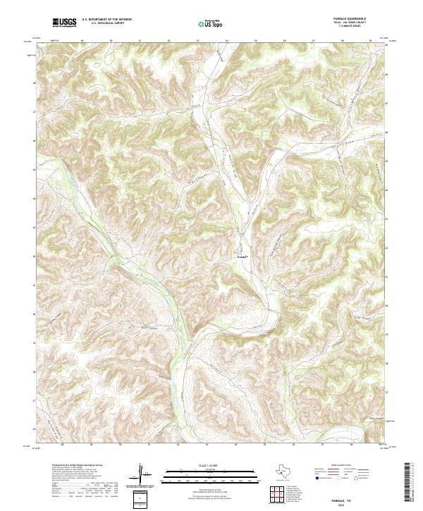
2022 Pandale
Val Verde County, TX
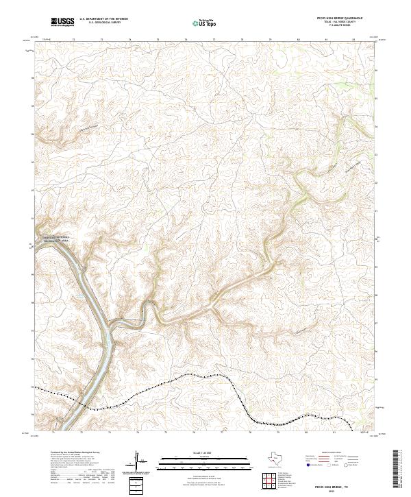
2022 Pecos High Bridge
Val Verde County, TX
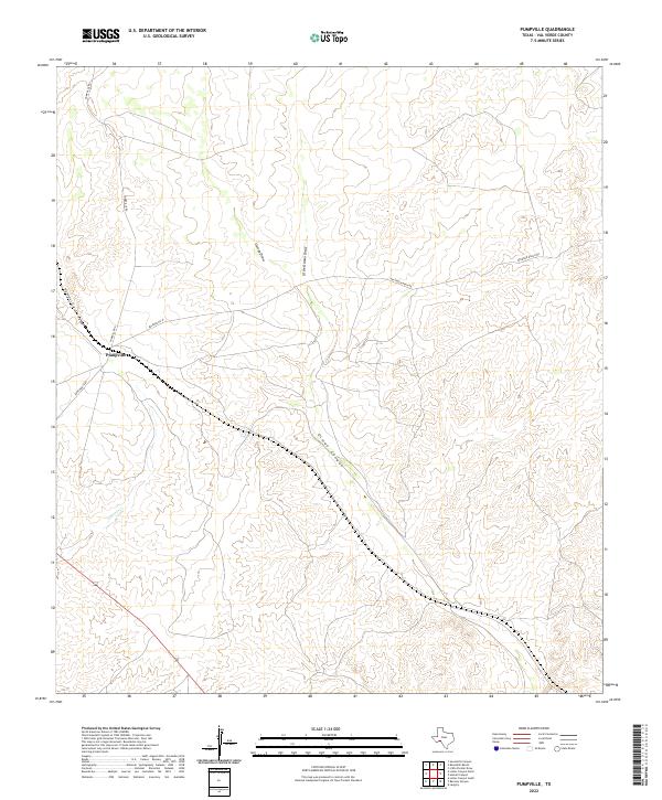
2022 Pumpville
Val Verde County, TX
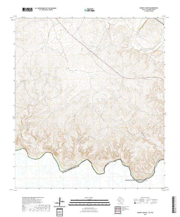
2022 Ramsey Canyon
Val Verde County, TX
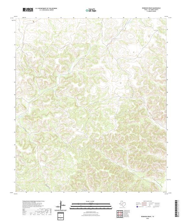
2022 Robinson Draw
Val Verde County, TX
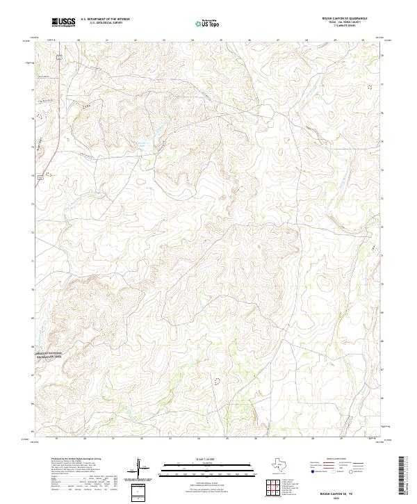
2022 Rough Canyon SE
Val Verde County, TX

2022 Rough Canyon
Val Verde County, TX
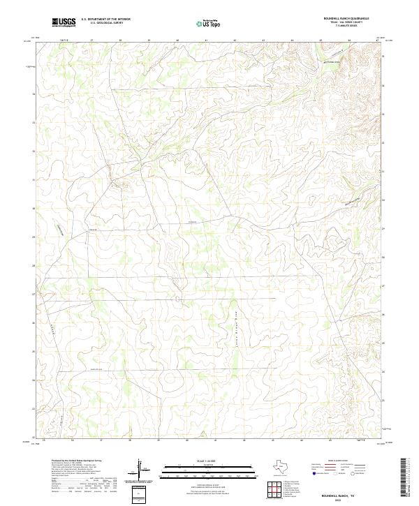
2022 Roundhill Ranch
Val Verde County, TX
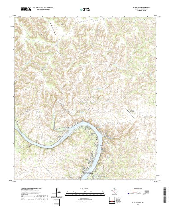
2022 Satan Canyon
Val Verde County, TX
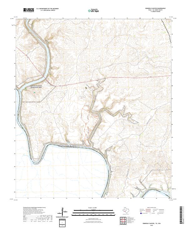
2022 Seminole Canyon
Val Verde County, TX
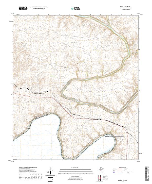
2022 Shumla
Val Verde County, TX
2022 Steel Star Draw
Val Verde County, TX
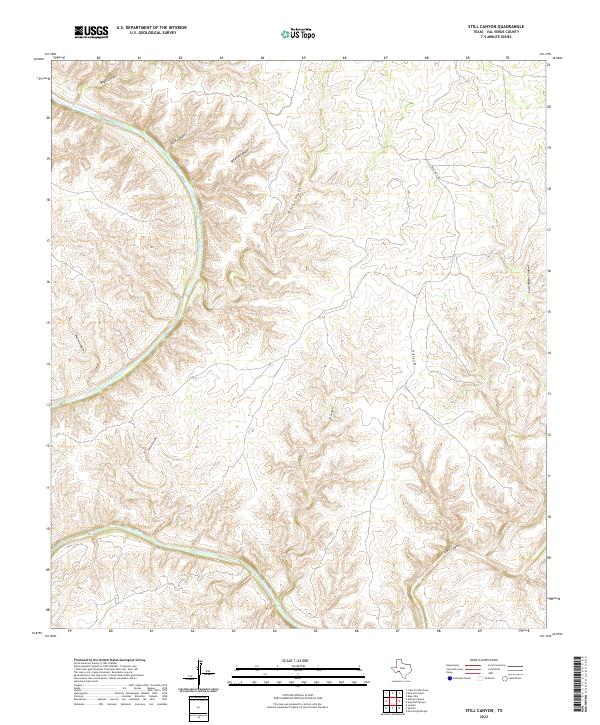
2022 Still Canyon
Val Verde County, TX
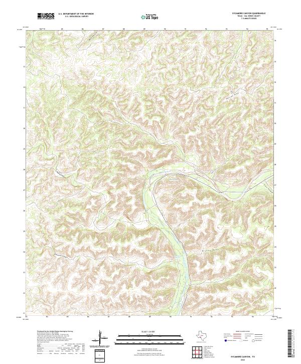
2022 Sycamore Canyon
Val Verde County, TX
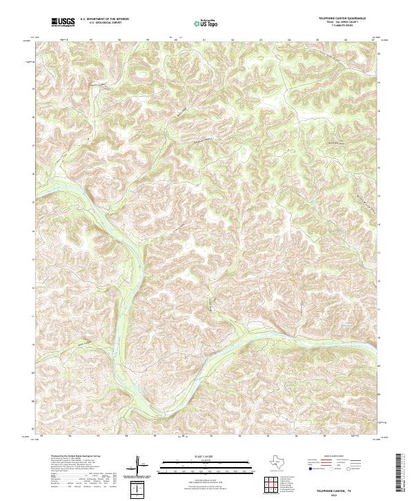
2022 Telephone Canyon
Val Verde County, TX
2022 White Draw NE
Val Verde County, TX

2022 White Draw NW
Val Verde County, TX
2022 White Draw
Val Verde County, TX
2022 Zuberbueler Bend NW
Val Verde County, TX
2022 Zuberbueler Bend
Val Verde County, TX