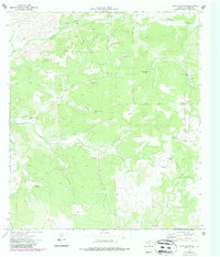
1973 Map of White Draw NE
USGS Topo · Published 1987About this map
Large cattle and livestock operations dominate this landscape of West Texas, captured as it appeared in the early 1970s. The topography is defined by the drainage systems of Buckley Draw and South Buckley Draw in the north, giving way to the winding course of Dolan Creek in the southeast. Ranching infrastructure is pervasive, with family-named holdings such as the John Cauthorn Ranch and Willie B Whitehead Ranch anchoring the local geography.
Find a feature on this map
22 named features on this map. Tap any name to fly to it.
Don’t see what you’re looking for? This feature index may not catch every label — zoom into the map to look around manually.
Map Details
Editions of this 1973 White Draw NE Map
2 editions found
Other maps of this area

1954 · Sonora
USGS Topo · 1:250,000

1958 · Sonora
USGS Topo · 1:250,000

1967 · Dunbar Draw SW
USGS Topo · 1:24,000

1967 · Flat Rock Draw SE
USGS Topo · 1:24,000

1967 · Flat Rock Draw SW
USGS Topo · 1:24,000

1973 · Turney Draw NW
USGS Topo · 1:24,000

1973 · White Draw NW
USGS Topo · 1:24,000

1973 · Robinson Draw
USGS Topo · 1:24,000

1973 · Four Mills
USGS Topo · 1:24,000
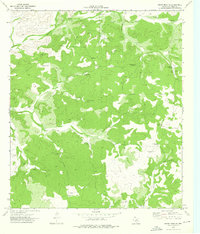
1973 · White Draw NE
USGS Topo · 1:24,000