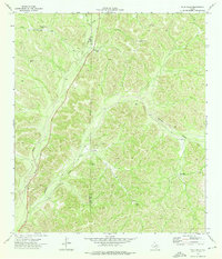
1973 Map of Four Mills
USGS Topo · Published 1976This historical map portrays the area of Four Mills in 1973, primarily covering Edwards County as well as portions of Val Verde County. Featuring a scale of 1:24000, this map provides a highly detailed snapshot of the terrain, roads, buildings, counties, and historical landmarks in the Four Mills region at the time. Published in 1976, it is the sole known edition of this map.
Map Details
Editions of this 1973 Four Mills Map
This is the sole edition of this map. No revisions or reprints were ever made.
Historical Maps of Edwards County Through Time
39 maps found
1893 Nueces
Edwards County, TX
1893 Rock Springs
Edwards County, TX
1896 Nueces
Edwards County, TX
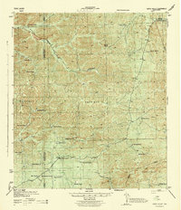
1943 Carta Valley
Edwards County, TX
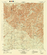
1944 Flat Rock
Edwards County, TX
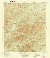
1944 Indian Creek
Edwards County, TX
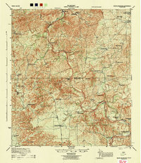
1944 Indian Mountain
Edwards County, TX
1947 Hackberry
Edwards County, TX
1967 Indian Mountain
Edwards County, TX
1970 Ray Lake NW
Edwards County, TX
1971 Black Waterhole
Edwards County, TX
1971 Bradford Creek
Edwards County, TX
1971 Carta Valley NE
Edwards County, TX
1971 Cub Lake
Edwards County, TX
1971 Devils Sinkhole
Edwards County, TX
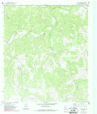
1971 Elbow Lake
Edwards County, TX
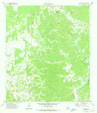
1971 Hackberry
Edwards County, TX
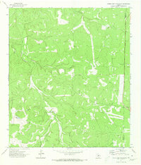
1971 Horse Camp Waterhole
Edwards County, TX
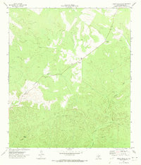
1971 Indian Creek NE
Edwards County, TX
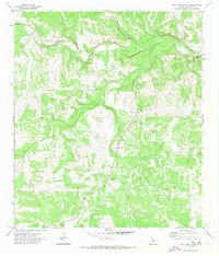
1971 Paint Rock Spring
Edwards County, TX
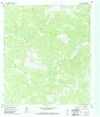
1971 Ray Lake
Edwards County, TX
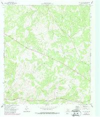
1971 Ray Lake SE
Edwards County, TX
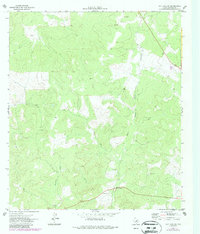
1971 Ray Lake SW
Edwards County, TX
1971 Turney Draw NE
Edwards County, TX
1971 Turney Draw SE
Edwards County, TX

1973 Four Mills
Edwards County, TX
1973 Turney Draw NW
Edwards County, TX
1973 Vance
Edwards County, TX
1974 Cutting Pen Draw
Edwards County, TX
1974 Half Moon Prairie
Edwards County, TX
1974 Indian Mountain
Edwards County, TX
1974 Kelley Peak
Edwards County, TX
1974 Twomile Draw
Edwards County, TX
1974 Wiley Waterhole
Edwards County, TX
1978 Carta Valley
Edwards County, TX
1978 Carta Valley SE
Edwards County, TX
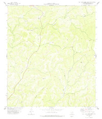
1978 Flat Rock Creek North
Edwards County, TX
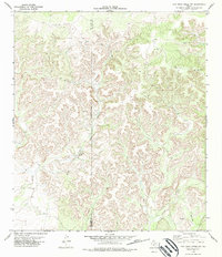
1978 Flat Rock Creek NW
Edwards County, TX
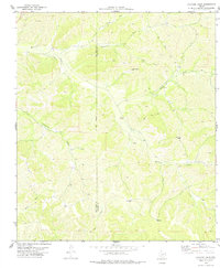
1978 Holcomb Draw
Edwards County, TX