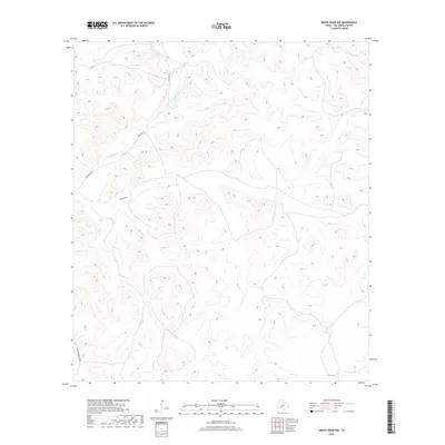
2019 Map of White Draw NW
USGS Topo · Published 2019About this map
The winding course of the Devils River dominates the northwest corner of this terrain, cutting through the high limestone plateaus of Val Verde County. Access to this arid landscape is primarily defined by Ranch Rd 189, which follows the river valley before climbing into the surrounding uplands. The drainage patterns are further marked by Buckley Draw and Threemile Draw, seasonal watercourses that illustrate the complex erosion and canyon systems typical of the Edwards Plateau. This survey reveals a sparsely settled region where the topography itself dictates the routes of travel and land use, providing a clear record of the area's natural hydrology and primary road network.
Find a feature on this map
4 named features on this map. Tap any name to fly to it.
Don’t see what you’re looking for? This feature index may not catch every label — zoom into the map to look around manually.
Map Details
Editions of this 2019 White Draw NW Map
This is the sole edition of this map. No revisions or reprints were ever made.
Other maps of this area

1954 · Sonora
USGS Topo · 1:250,000

1958 · Sonora
USGS Topo · 1:250,000

1967 · Flat Rock Draw SE
USGS Topo · 1:24,000

1967 · Flat Rock Draw SW
USGS Topo · 1:24,000

1970 · Juno
USGS Topo · 1:24,000

1970 · Brushy Draw
USGS Topo · 1:24,000

1970 · Deaton Draw
USGS Topo · 1:24,000

1973 · White Draw NW
USGS Topo · 1:24,000

1973 · Robinson Draw
USGS Topo · 1:24,000
1973 · White Draw NE
USGS Topo · 1:24,000