
1973 Map of White Draw NW
USGS Topo · Published 1975About this map
The Devils River winds through the northwestern reaches of Val Verde County, cutting a deep channel through the arid plateau of West Texas. This early 1970s landscape is defined by its ranching infrastructure, where water sources are the primary markers of settlement and activity. Remote operations like Drydale Ranch and Taylor Ranch relied on an extensive network of named water features, including Divide Well and House Well No 2, to sustain life and livestock in the brush country.
Find a feature on this map
22 named features on this map. Tap any name to fly to it.
Don’t see what you’re looking for? This feature index may not catch every label — zoom into the map to look around manually.
Map Details
Editions of this 1973 White Draw NW Map
This is the sole edition of this map. No revisions or reprints were ever made.
Other maps of this area

1954 · Sonora
USGS Topo · 1:250,000

1958 · Sonora
USGS Topo · 1:250,000

1967 · Flat Rock Draw SE
USGS Topo · 1:24,000

1967 · Flat Rock Draw SW
USGS Topo · 1:24,000

1970 · Juno
USGS Topo · 1:24,000

1970 · Brushy Draw
USGS Topo · 1:24,000

1970 · Deaton Draw
USGS Topo · 1:24,000

1973 · Robinson Draw
USGS Topo · 1:24,000
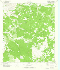
1973 · White Draw NE
USGS Topo · 1:24,000
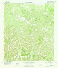
1973 · White Draw
USGS Topo · 1:24,000