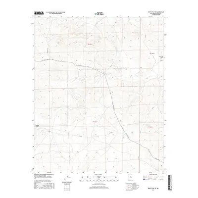
2017 Map of White Flat SE
USGS Topo · Published 2017About this map
Middle Arroyo and Salt Cr define the drainage patterns of this high-desert landscape in Chaves County, where deep incisions like Chimney Canyon and Rock Tank Canyon break the arid plateau. This 2017 study illustrates a region primarily organized around ranching infrastructure and remote access, with W Pine Lodge Rd serving as a primary east-west artery across the township and range divisions.
Find a feature on this map
15 named features on this map. Tap any name to fly to it.
Don’t see what you’re looking for? This feature index may not catch every label — zoom into the map to look around manually.
Map Details
Editions of this 2017 White Flat SE Map
This is the sole edition of this map. No revisions or reprints were ever made.
Other maps of this area

1949 · Corn Ranch
USGS Topo · 1:24,000

1950 · Corn Ranch
USGS Topo · 1:24,000

1955 · Roswell
USGS Topo · 1:250,000

1958 · Roswell
USGS Topo · 1:250,000

1962 · Roswell
USGS Topo · 1:250,000

1962 · Horseshoe Bend
USGS Topo · 1:62,500

1962 · Rock House Canyon
USGS Topo · 1:24,000
1963 · Barn Draw
USGS Topo · 1:24,000

1967 · White Flat
USGS Topo · 1:24,000
1967 · White Flat SE
USGS Topo · 1:24,000